
Trip from Shoreham EGKA, UK, to La Cerdanya LECD, Spain, September 2023
This article describes a trip from Shoreham, UK, to La Cerdanya in Spain. It was a EuroGA meet-up and it was exceptionally successful due to a number of factors.
Because LECD has no customs/immigration, and the fuel is aeroclub-only, the outbound route had a stop in Girona LEGE
There were various other options for clearing customs/immigration e.g. Beziers LFMU, Montpellier LFMT, but the French airports generally require 24hr PN, some take one sort of credit card and not another, LFMT had a bizzare notam about 3 days' PN, and extracting confirmation from them was too much hassle, whereas Girona was easy, if a bit more expensive.
LECD had no PN but the airport was contacted as a matter of courtesy because we were expecting 10-20 aircraft. They have no fuel available to visitors so everyone had to refuel elsewhere. My only refuel was at LEGE and then I had enough for the rest of the trip back home.
The leg LEGE-LECD was filed as IFR, changing to VFR because the mountains required total routing flexibility. LECD itself also has no instrument approach. It was filed via MAMUK since that is a standard departure from LEGE, but once out of LEGE's CAS nobody was bothered about the routing
On the way back a stop was filed for customs/immigration at Caen LFRK (VFR departure from LECD) followed by a simple VFR leg back home to EGKA
Here is a glossary for non-aviation readers.
Some background to this trip is in this EuroGA thread.
Airport PNR/PPR
LEGE was just 3hr PPR and this was arranged by the handler, Centervol, who were very responsive on email. There was initially some confusion about LEGE charges. With bigger airports these are worth establishing because if you aren't careful you could get hit with expensive "handling" and pay something silly like 300 euros. In the end it was 109.68 euros plus VAT. Spain has a law forcing airports to provide a "basic" level of handling; this is to suppress ripoff practices. But in reality the airports get around this by creating a cartel under which the handlers operate a system whereby only one or two handlers respond to GA communications ![]() One can make it work with persistence but this needs time, which we didn't have.
One can make it work with persistence but this needs time, which we didn't have.
LFRK is the usual French airport whose customs/immigration is 24hr PN or 48hr PN at weekends. Actually LFRK was PPR for all visitors - even French ones - i.e. you must obtain an explicit permission. Nobody knows why this is. This pointless hassle for (mainly) UK pilots has greatly reduced the business of many French airports, and will have killed off most LFRK traffic from all sources, but French police enjoys making the point that the airport's business success is not their problem ![]()
Accommodation
With GA travel, there is no short-notice cost penalty so you can stay at home until the destination weather is good. AirB&B and Booking.com provide good solutions for accommodation and are widely used by pilots.
Booking.com is mostly normal hotels although many apartments appear on it also,
hence it tends to be "hotel prices". I use Booking.com as
the standard way to look for hotels. It is generally better than AirB&B
for short-notice trips because you get a guaranteed booking right away whereas
with AirB&B you "request" the apartment, and many AirB&B hosts
play silly games and take up to 24hrs (the max allowed time) to respond, presumably
in the hope of getting a longer-duration booking. AirB&B offers an "instant booking" facility on some properties however and this is supposedly non-cancellable. The other
thing with AirB&B is that if you go too downmarket you can get nasty surprises; in one €40/night apartment in Athens we
had sewage coming up through the floor! The really bad accommodation experiences do tend to be with AirB&B, probably because you usually don't get the exact address in advance and the host meets you on some street corner, presumably after they checked you out from a distance! I've had some bad cases in Greece, including one quite scary one, and I am a male ![]() It is pretty obvious that AirB&B is set up to facilitate tax evasion, which is the norm in southern Europe anyway. So, when looking for an apartment for
several people, I normally look at apartments priced around the cost of a single
hotel room - say €100/night. However, if you have a few days to play with,
AirB&B is usually much better value for money; in most cases one can get
a whole 2- or 3-bedroom apartment for the cost of a €100 tiny hotel room.
Another issue with Booking.com is that most of the establishments offer only "1 room
remaining" (to make it look like they are nearly fully booked, to scare people into
booking something fast) which makes it impossible to book for a group; this
is obviously solved by googling for the hotel and contacting it directly. Normally
the hotels prefer that anyway because Booking.com takes a cut of around 25%.
But occassionally one finds a lower price on Booking.com, and bizzarely I have
never managed to get a lower price by booking directly!
It is pretty obvious that AirB&B is set up to facilitate tax evasion, which is the norm in southern Europe anyway. So, when looking for an apartment for
several people, I normally look at apartments priced around the cost of a single
hotel room - say €100/night. However, if you have a few days to play with,
AirB&B is usually much better value for money; in most cases one can get
a whole 2- or 3-bedroom apartment for the cost of a €100 tiny hotel room.
Another issue with Booking.com is that most of the establishments offer only "1 room
remaining" (to make it look like they are nearly fully booked, to scare people into
booking something fast) which makes it impossible to book for a group; this
is obviously solved by googling for the hotel and contacting it directly. Normally
the hotels prefer that anyway because Booking.com takes a cut of around 25%.
But occassionally one finds a lower price on Booking.com, and bizzarely I have
never managed to get a lower price by booking directly!
In some countries the above two booking services are noticeably unpopular (I believe, due to the perception of being "American") and little appears on them. More here. Also in some niche destinations the accommodation is advertised only via their local tourist office (which has a website, and charges the hosts zero or negligible commission); examples are Alderney and the Scilly Islands. The latter in particular is difficult with just a few overpriced low quality hotels and with lots of B&Bs which are booked by the same people every year and are not advertised.
In this case, most of us stayed in the Aero hotel, with others in nice Airb&b apartments.
Pilot
FAA CPL/IR, EASA PPL/IR, ~2900hrs.
Aircraft
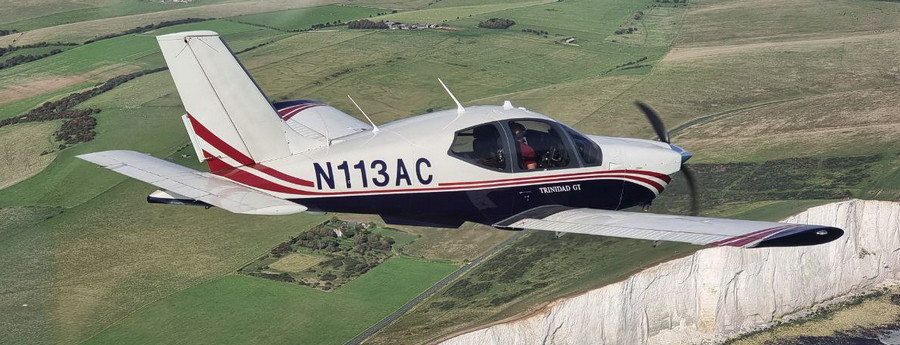
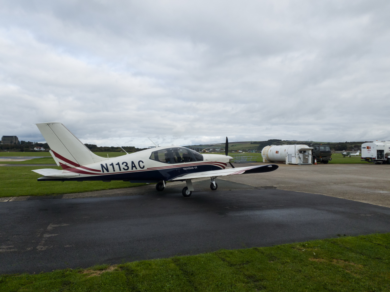
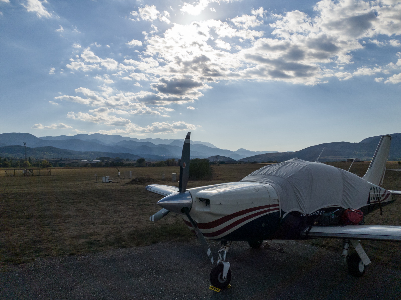
The aircraft is this 2002 TB20GT; one of the last made before production ended. This photo is from 2023:
In January 2018 a full TKS ice protection system was installed. This was a big job, with numerous nontrivial aspects, but the end result was well worthwhile in expanding the operating envelope, by enabling safe penetration of non-convective icing conditions - basically icing layers which can be climbed or descended through fairly quickly. It was good to discover afterwards that the TKS system did not affect the cruise speed - something of a problem on other TB20 / TB21 installations where a speed loss of 5-7kt had been reported. There is a payload loss of 50kg (with a full tank of fluid) which makes the TB20 a 2-seater if doing a trip with a lot of stuff. The system is totally effective against any icing conditions I have encountered but in those conditions it will empty the tank in around 1 hour! And the sticky fluid makes a mess; it is best to wash the aircraft down after such a flight with some hot water.
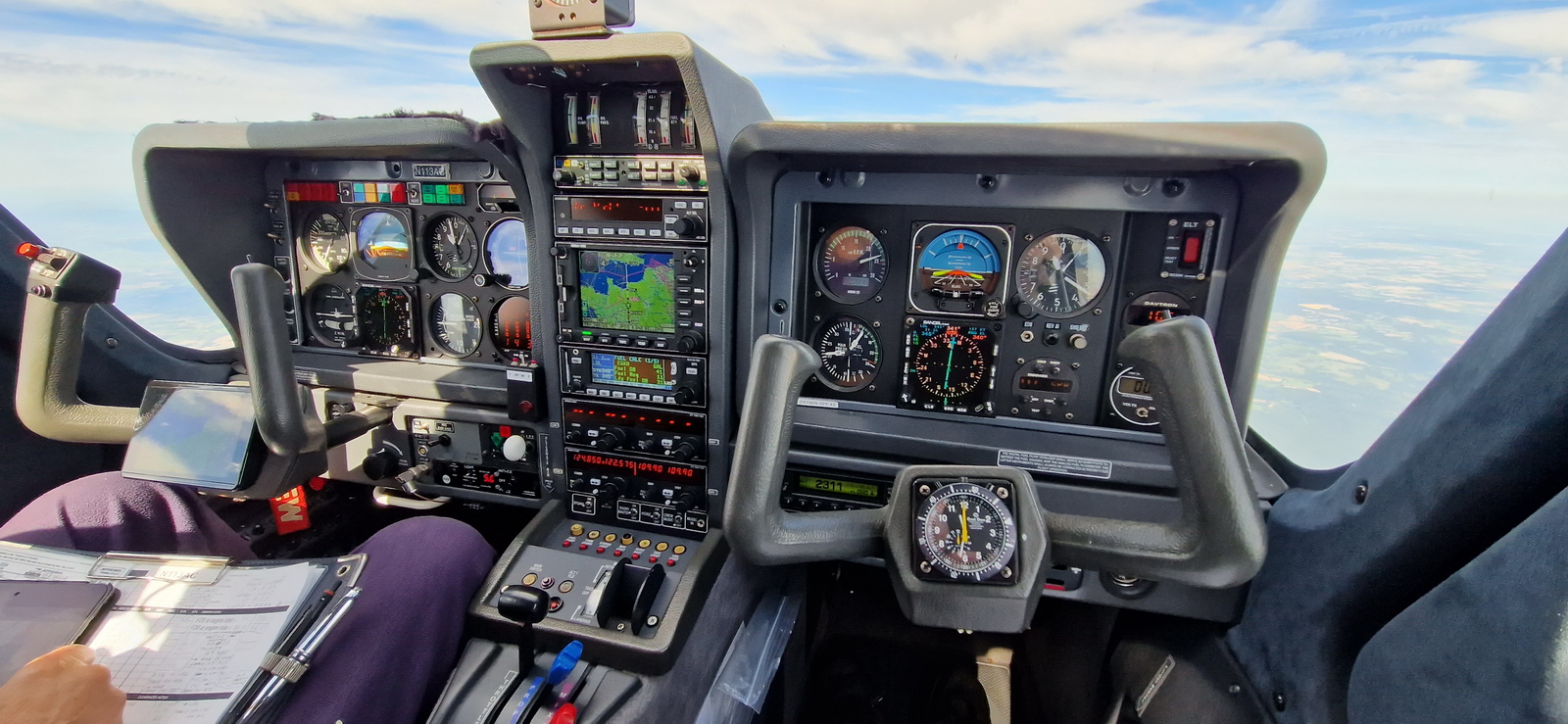
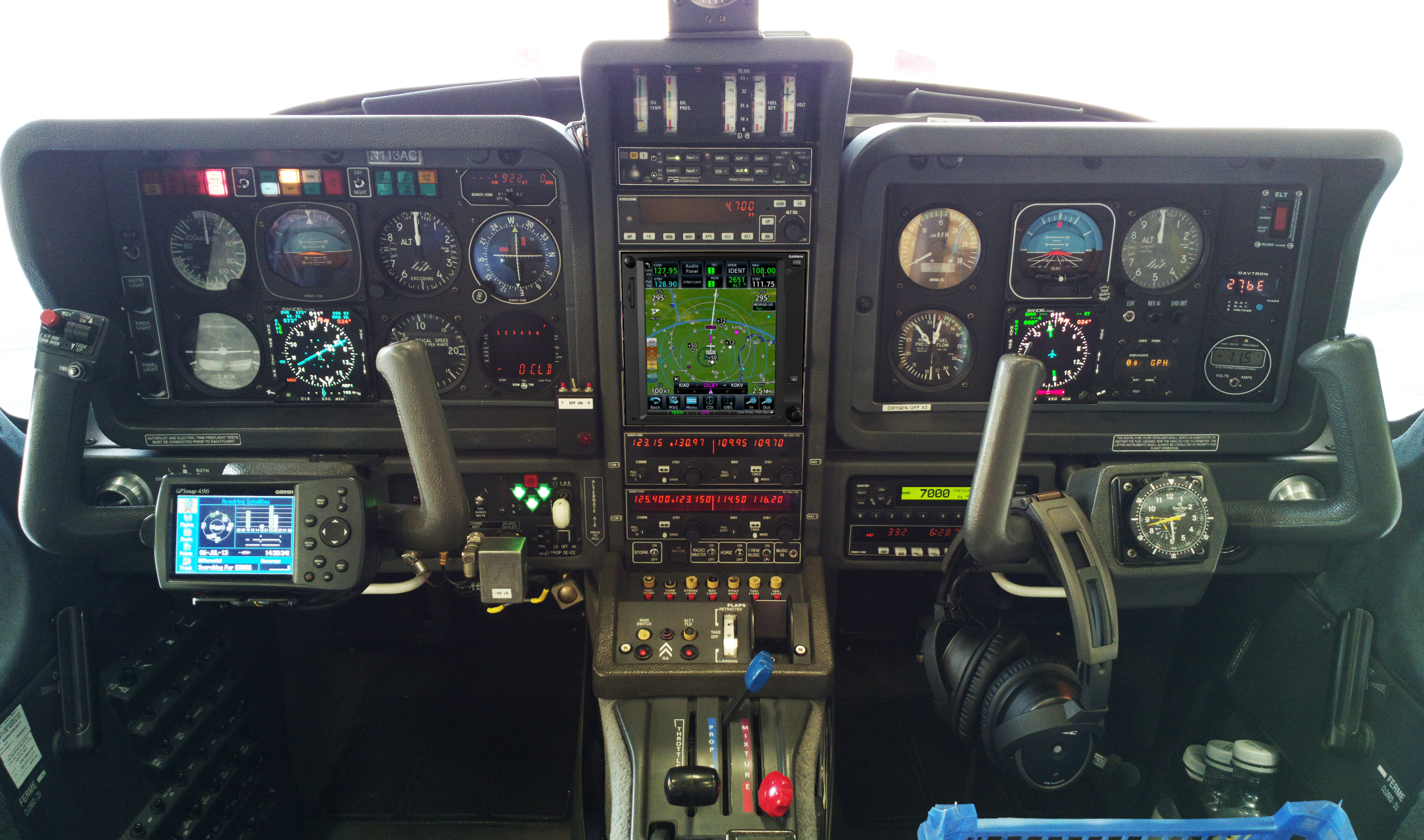
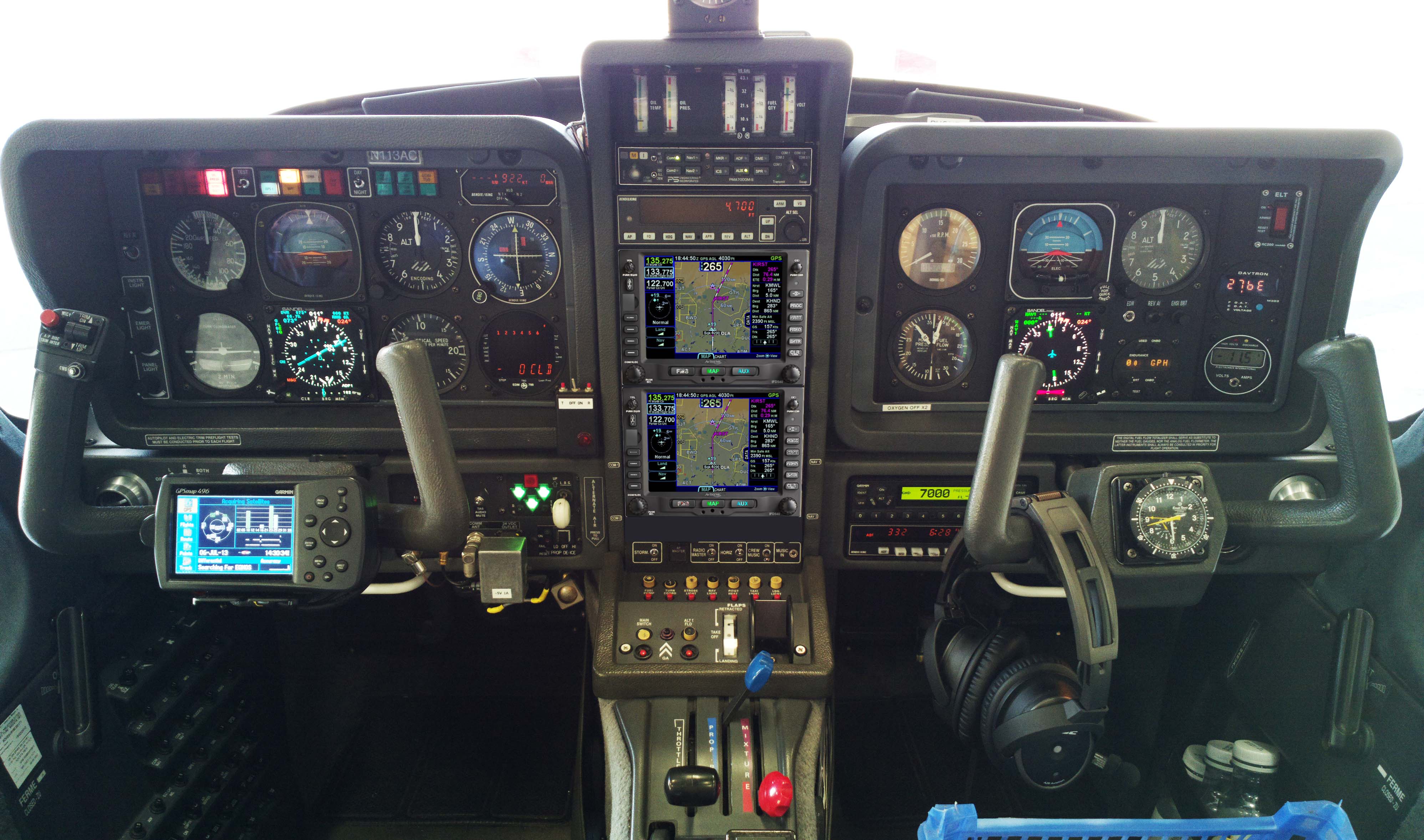
The aircraft is equipped for BRNAV (RNAV 5) and can fly ILS and GPS/LNAV approaches using the autopilot. This is sufficient for current European IFR flying. The cockpit is largely as delivered in 2002, with a Sandel EHSI installed in 2011 on the LH side and with the RH side later reworked with another Sandel EHSI and arranged to form a usable "pilot panel" so the aircraft can be flown from the RH side.
There is no LPV approach capability but LPV is not yet (to me) operationally relevant in Europe especially if flying to/from the UK which normally needs an airport with Customs/Immigration. France is ahead of most countries in removing ILS approaches (from airports not served by airlines) and replacing them with LPV. Adding LPV capability (which also gives you the very useful "+V" advisory glideslope on most GPS approaches) could be done with a cheap-and-dirty solution of a used GNS430W, but that would leave various dysfunctional loose ends, and a decent installation would be a Garmin GTN650+GTN750 (or just the 750) or Avidyne 2xIFD540 (the foregoing links are photoshopped mockups) and these jobs would cost about 30k but much more importantly I don't know of any installer who I would let loose on my aircraft on which I value the virtually 100% uptime!
The aircraft has an operating ceiling of 20,000ft in ISA conditions. I have taken it to 21,000ft but in the fairly common summer conditions of e.g. ISA+15 it will reach at most 18,000ft at MTOW.
This is the current panel, with the Aera 660 GPS on the LH yoke; this is wired to the intercom to provide a GPWS function with audible warnings in the headsets, as well as providing an emergency "DCT box" for navigation following a total loss of electric power. The Aera 660 is shown running the Garmin Safetaxi product which makes it a lot harder to get lost at a big airport ![]() Unlike most tablets (the Ipads especially) this GPS never shuts down in sunlight so its utility can be much greater than running e.g. Foreflight on my Ipad Mini 5 which shuts down regularly...
Unlike most tablets (the Ipads especially) this GPS never shuts down in sunlight so its utility can be much greater than running e.g. Foreflight on my Ipad Mini 5 which shuts down regularly...
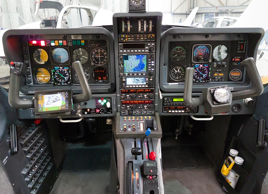
The Golze ADL150 satellite weather receiver was also installed in January 2018. This gives simple but usable graphical weather data for most of Europe, plus tafs and metars. With an upfront cost of around €500 and monthly costs of around €30 this is one of the best add-ons one can install in any aircraft used for reasonable distances and at significant altitudes where there is no 3G/4G reception. The Golze app runs on both Android and IOS, on phones and tablets.
Routes
The IFR routes were developed with the Autorouter which was also used to file the flight plans. This facility is currently free. The only other options for autorouting are RocketRoute (over €200 a year) and Foreflight (around €100/year for the basic version). Foreflight dominates the US market but has not produced a European version of their Ipad app so the functionality could be better. For VFR flight plan filing I use EuroFPL. I also use EuroFPL for filing IFR flight plans as a backup, or for unusual situations e.g. where a specific ETA must be filed (to fit inside a purchased airport slot) and the Autorouter aircraft performance model does not allow that. The lack of a realistic backup for the Autorouter is a concern to many pilots.
In case the Autorouter disappeared while on a trip, I generate the routings before leaving home and send them to myself on Telegram, or save them in a file which I email to myself. Then I could use one of the other flight plan filing tools (e.g. EuroFPL, or at worst AFPEX) to file the flight plans. This is not 100% reliable because a flight planned route may no longer be valid a week later, but it usually works, or may just need a little tweak.
Some notes on IFR in Europe are here.
The outbound route was filed for FL050 initially, to remain under the UK 5500ft controlled airspace (CAS). This is more efficient because it avoids talking to London Control which has a tendency to send you well off-route when they give you a climb into CAS. Also, when the UK ATC system sees a flight plan which is substantially outside CAS within the UK, it disregards it (discards it) and no service is provided. The rest of it was filed at FL110 but one asks ATC for a cruise altitude which is just nicely above any cloud, and FL100 is a good figure for economy and low oxygen usage
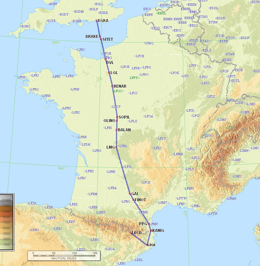
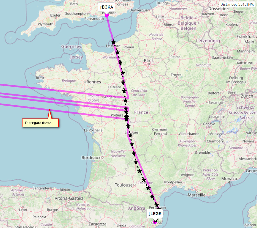
EGKA N0146F050 DRAKE/N0146F070 DCT SITET/N0149F110 A34 LGL/N0152F110 H20 BENAR A34 AMB R10 SOPIL A34 OLINO R10 BALAN A34 LMG G36 PPG A27 KANIG KANIG2F LEGE
563nm as filed
550nm GC
Alternate: Beziers LFMU
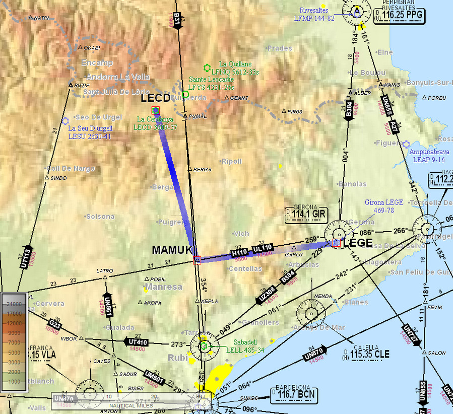
The next leg, LEGE-LECD, was short at just 65nm, with an IFR departure
LEGE MAMUK2G MAMUK VFR LECD
Alternate: Beziers LFMU
The return route was filed for FL100 initially, VFR, but around FL120 was needed for that VFR section. It's a highly scenic route on which you go really close to the mountains. The Pyrenees have few opportunities for a forced landing...
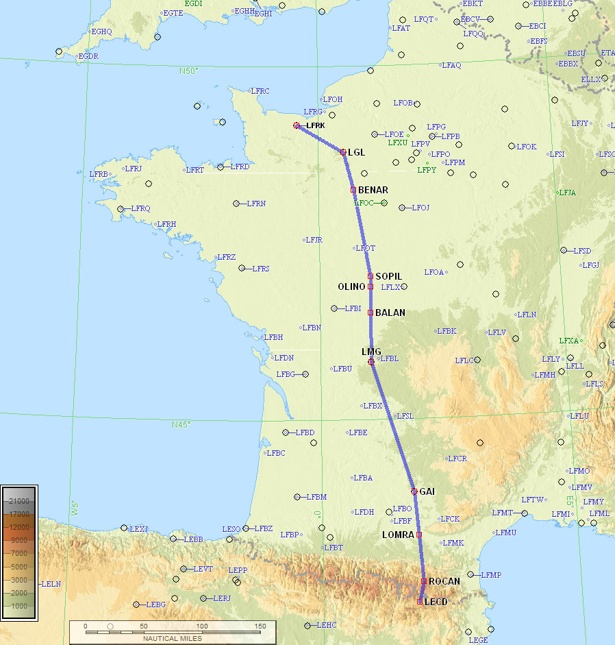
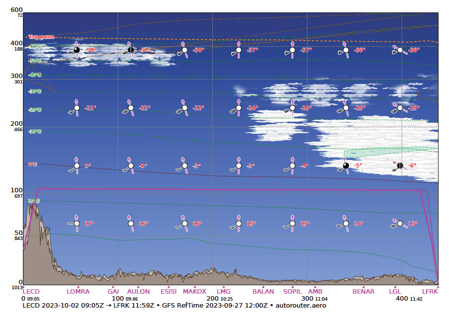
LECD ROCAN/N0152F100 IFR DCT LOMRA DCT GAI G36 LMG A34 BALAN R10 OLINO A34 SOPIL R10 AMB A34 BENAR H20 LGL LFRK
436nm as filed
418nm GC
Alternates: Shoreham EGKA, Biggin Hill EGKB, Lydd EGMD
Many pilots fly "fully electronically" nowadays but for any significant trips I always prepare a printed paper package comprising of the route pic, a plog (a waypoint list; this is rarely used since the route picture shows most of the waypoints, and the flight is done with GPS navigation), and the terminal charts for the departure, destination and alternate(s). For terminal charts for unplanned airports I have a collection of PDFs on various devices including my phone. The advantage of paper is that the battery can't go flat ![]()
Weather sources
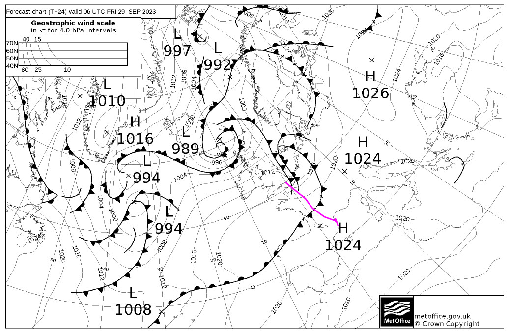
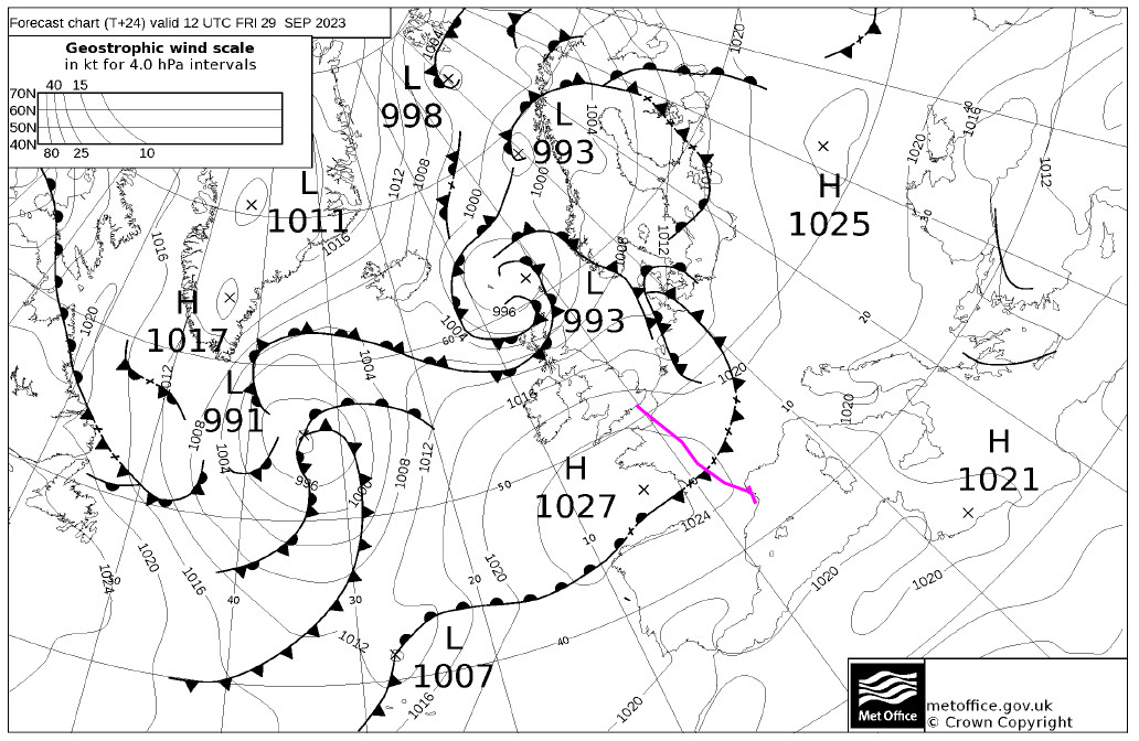
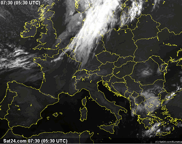
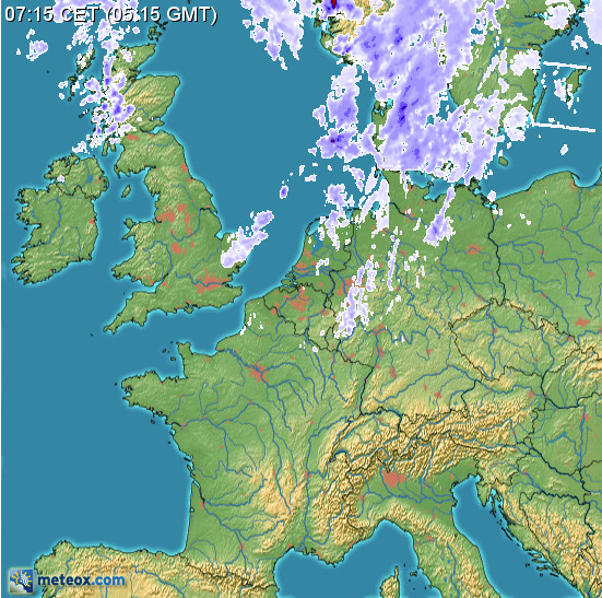
For many years I have been using tafs, metars, radar, IR (infra red) images for cloud tops, sferics (lightning) for convective activity, and the UK MO MSLP charts for the general picture.
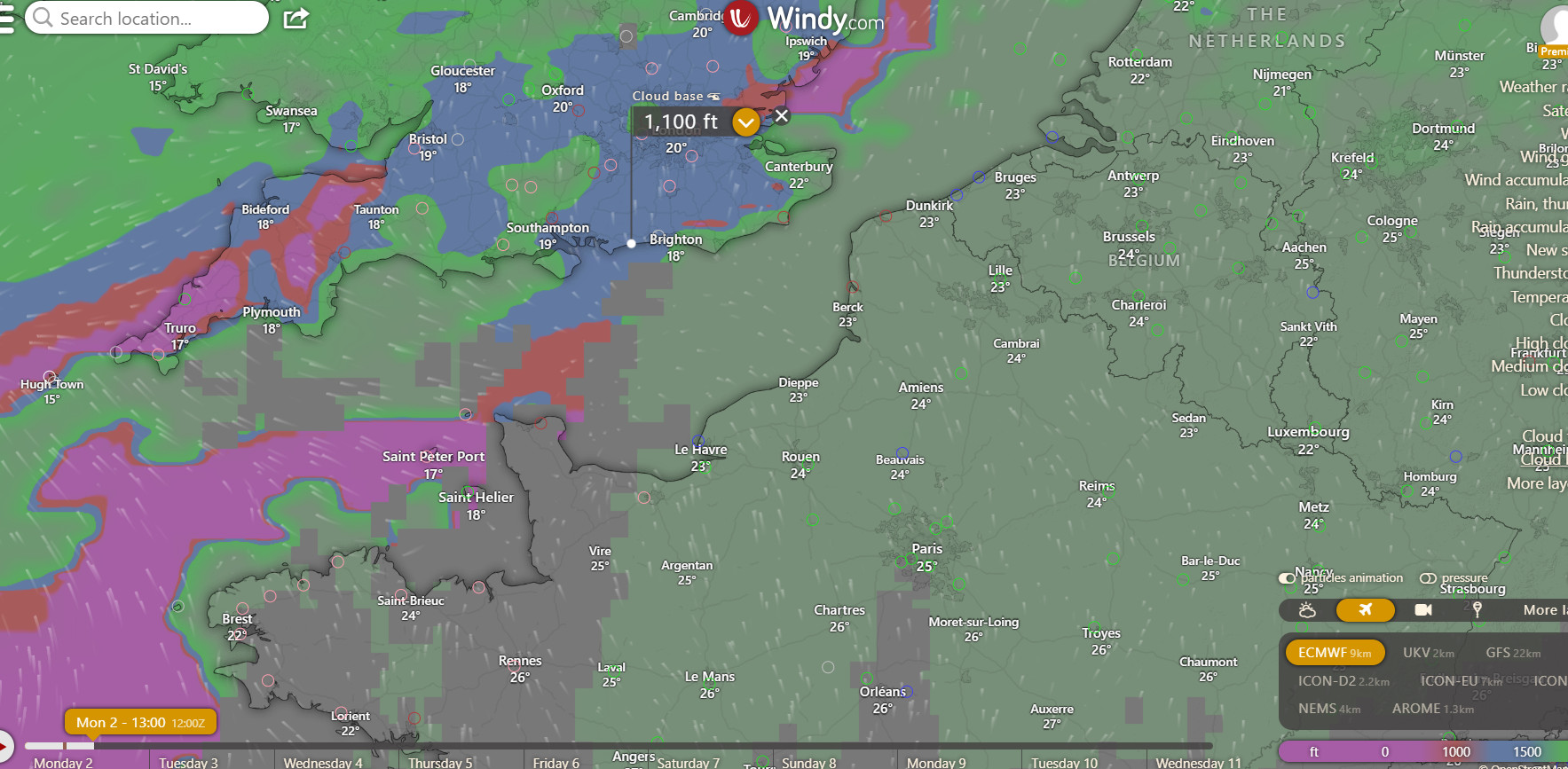
The Windy.com website is a new addition to the set of weather tools and is proving to be nothing short of a revolution. It offers several European weather models, all of which were previously "commercially secret" and ECMWF is generally the best one, and all of them are better for Europe than the GFS model which was universally used by pilots beforehand. European weather data has always been tightly guarded so everyone used GFS, which was freely provided by the US. Somehow, Windy.com is able to offer these new weather models. The wind visualisation at different levels is very good; of course it is no more accurate than the weather models but it offers an easy way to assess which route is likely to get the worst or best winds. In reality I have found it to be within 10kt, usually. For IFR pilots, the "rain" layer is perhaps the most useful one.
Shoreham EGKA to Girona LEGE
This 563nm leg shows the great range of the TB20, which can fly for around 1300nm to empty tanks, and one lands at LEGE with enough fuel to fly back to the UK!
MSLP: 0600 1200
TAFs/METARs IR Radar Sferics
Autorouter briefing pack
The IR image showed no weather at any relevant altitude. The dissipating front shown in the MSLPs was either invisible or had gone by the time of the flight.
The return weather, from windy.com, showed nothing of relevance, with the high pressure hanging around for a few days more...
Departure weather was nice, with just a thin cloud layer
Soon above the layer, while still below the 5500ft CAS base
London Control were never called. I could have asked Shoreham for an IFR departure but a simple "VFR" one was preferred since the weather was good. The first radio call was to France - Deauville.
One has to be careful flying outside CAS in the UK. A few years ago the UK adopted an aggressive "100% bust them all" policy, with every infringement, no matter how brief, of controlled airspace, danger area, ATZ, being followed up and the pilot being busted for it. Details here. Their clear aim is to reduce these pilot errors to zero. They don't "get" that the vast majority of infringements are minor pilot errors which are an inevitable part of flying outside controlled airspace, especially given the UK's disjointed ATC services. Some pilots get warning letters, many get sent to a 1-day "infringements course" (which costs £300-£500 and is mostly full of experienced pilots who got caught because they were using Mode S, some business jet pilots and even some instructors and examiners) and if you infringe again within 2 years of that course you are likely to get your license suspended, for many months and with no appeal. A very long discussion can be found here. Nowadays this "course" runs over Zoom video so it is cheaper. As a result, many pilots are flying with transponders off (which is not legal) or with transponders removed or non-functioning (which is legal). The data is now published by the CAA here and it shows that infringements have not reduced. The CAA originally wanted to keep this scheme secret but were forced via multiple FOIA applications (they lost some appeals) to publish it.
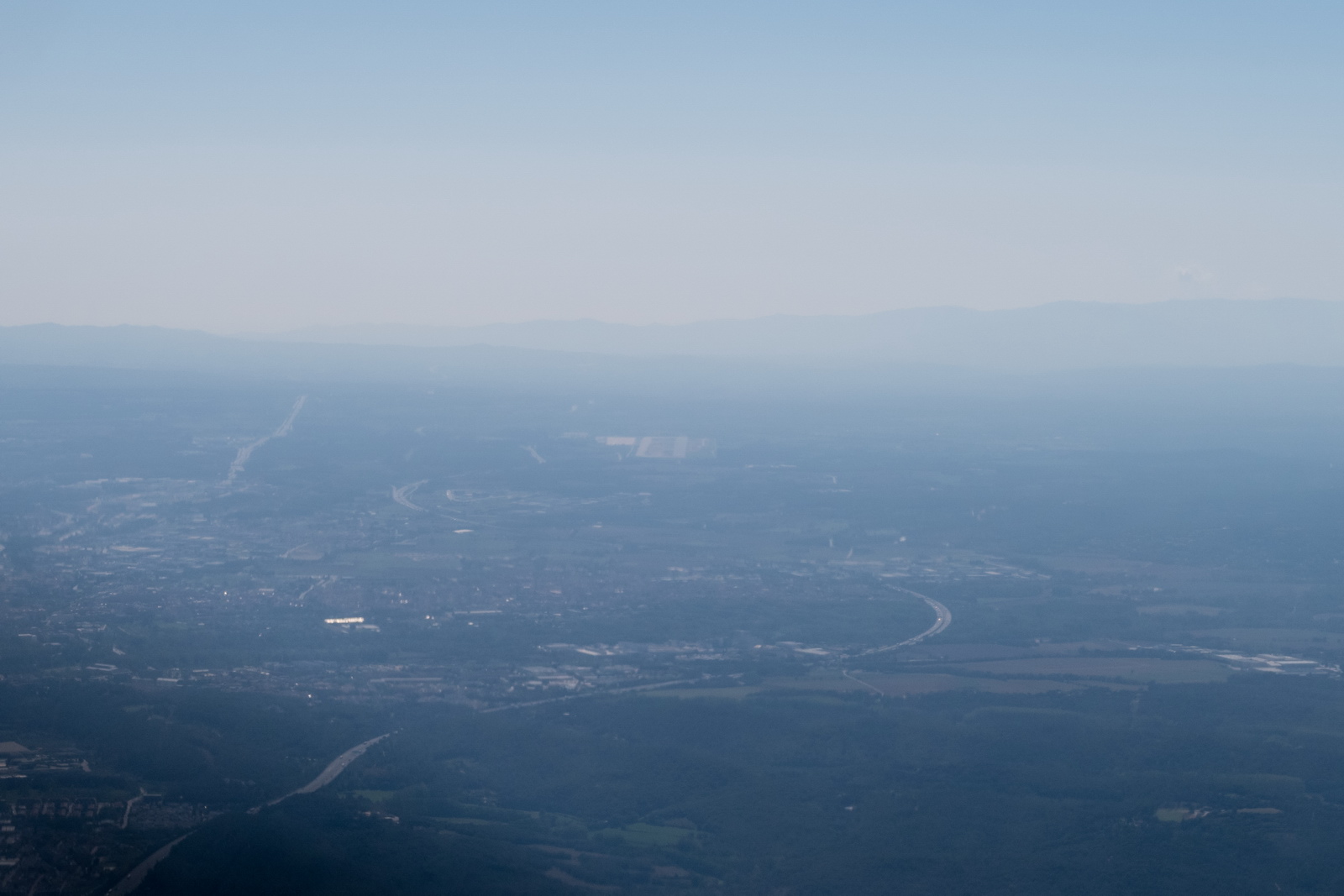
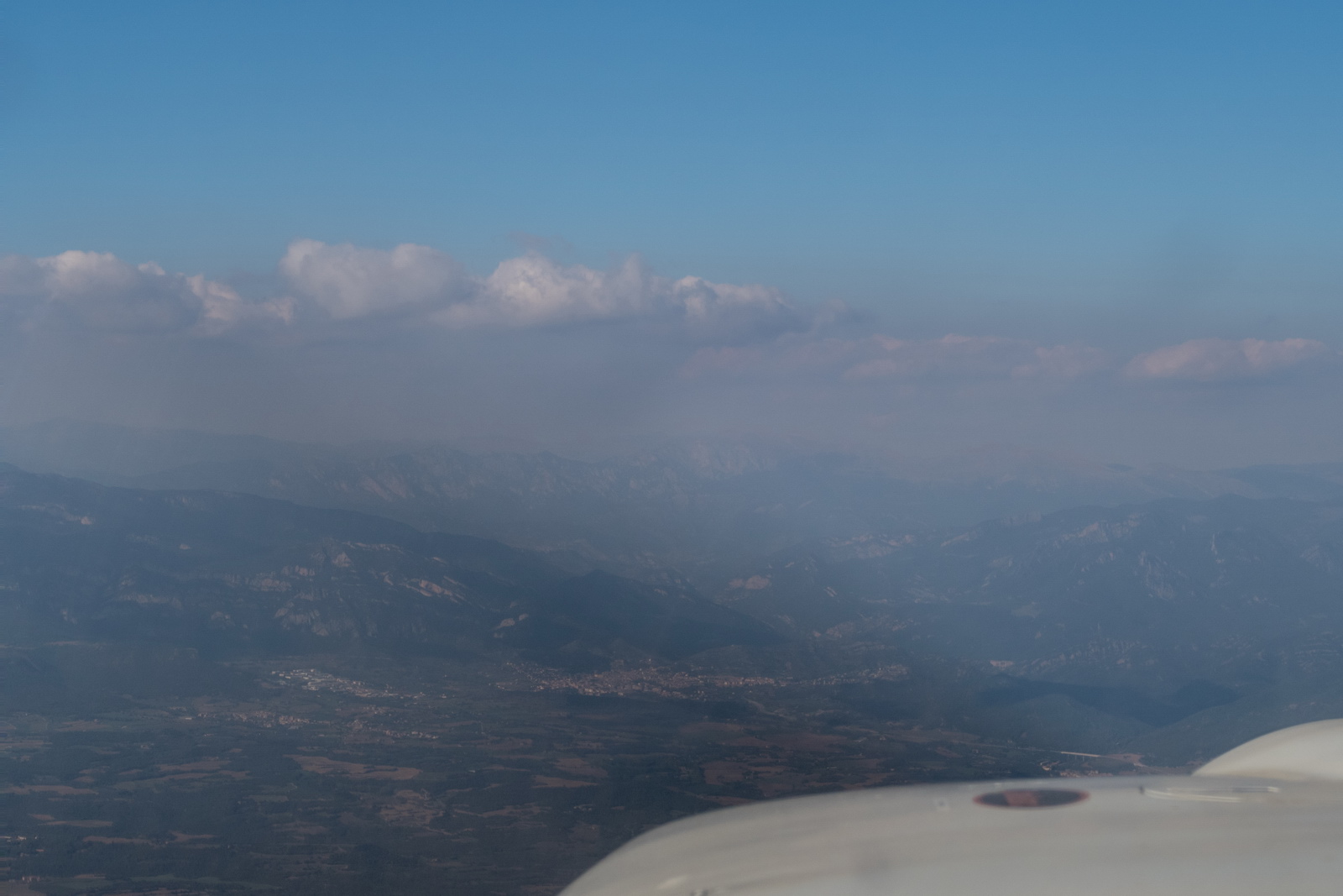
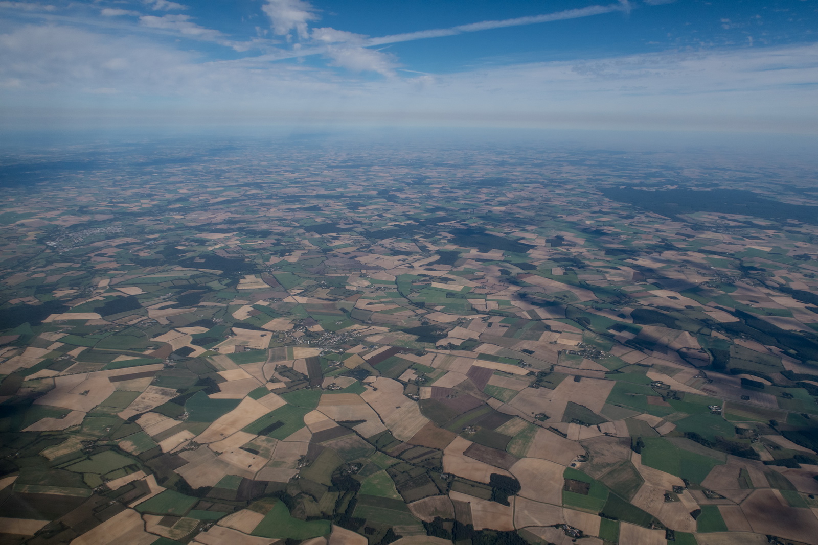
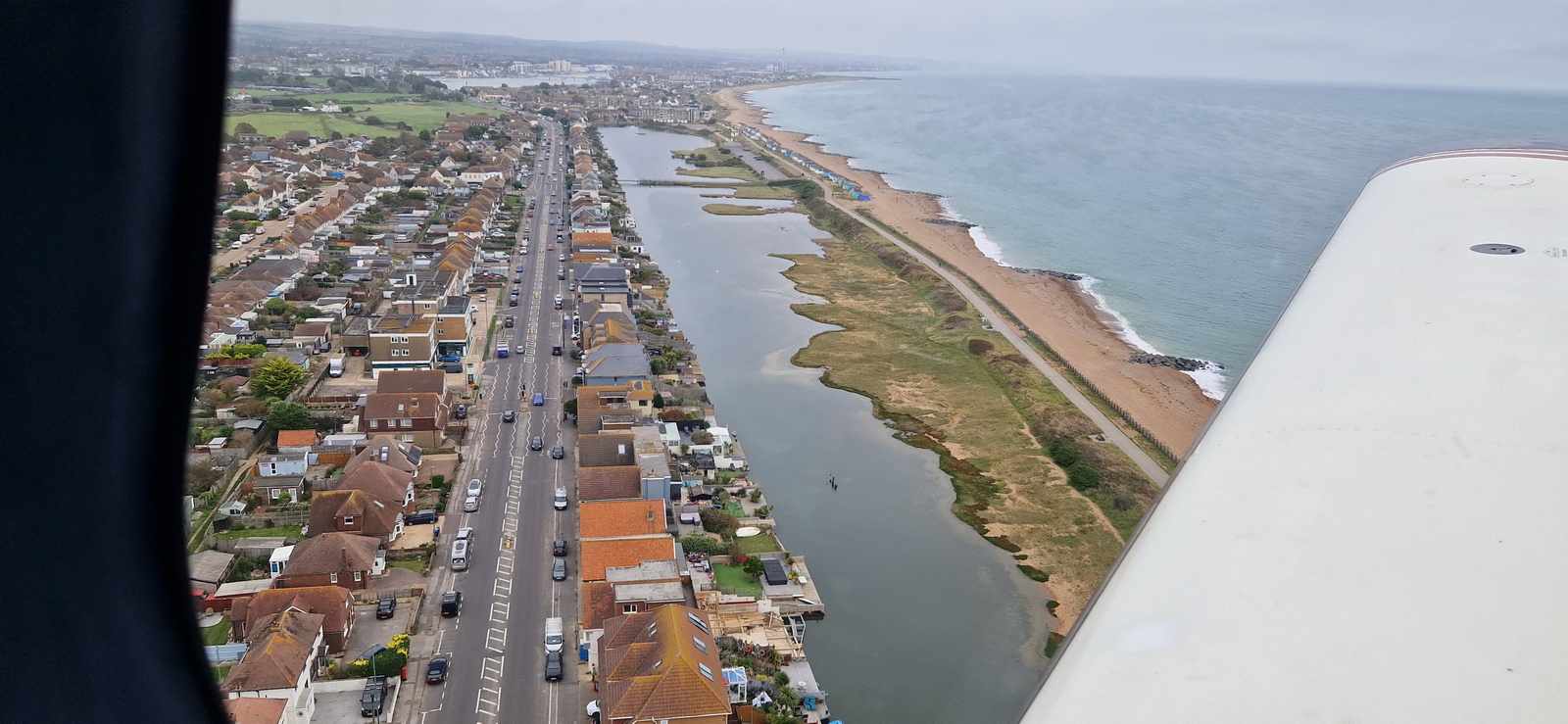
Flight across France was uneventful and with little to see with much of the flight above the cloud layer, at around FL100. However the first 2 hours of France is little more than thousands of fields...
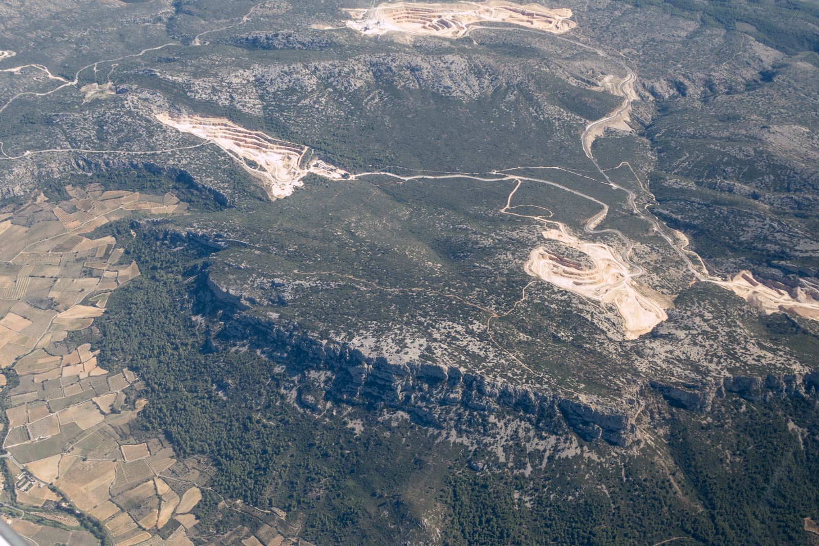
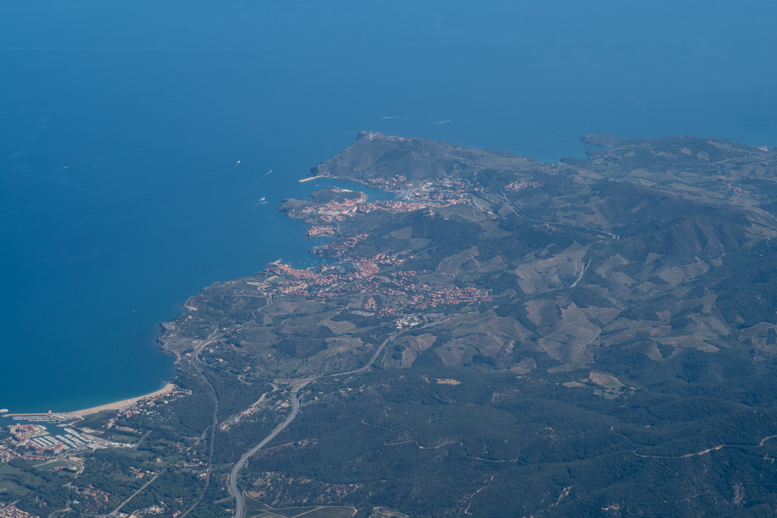
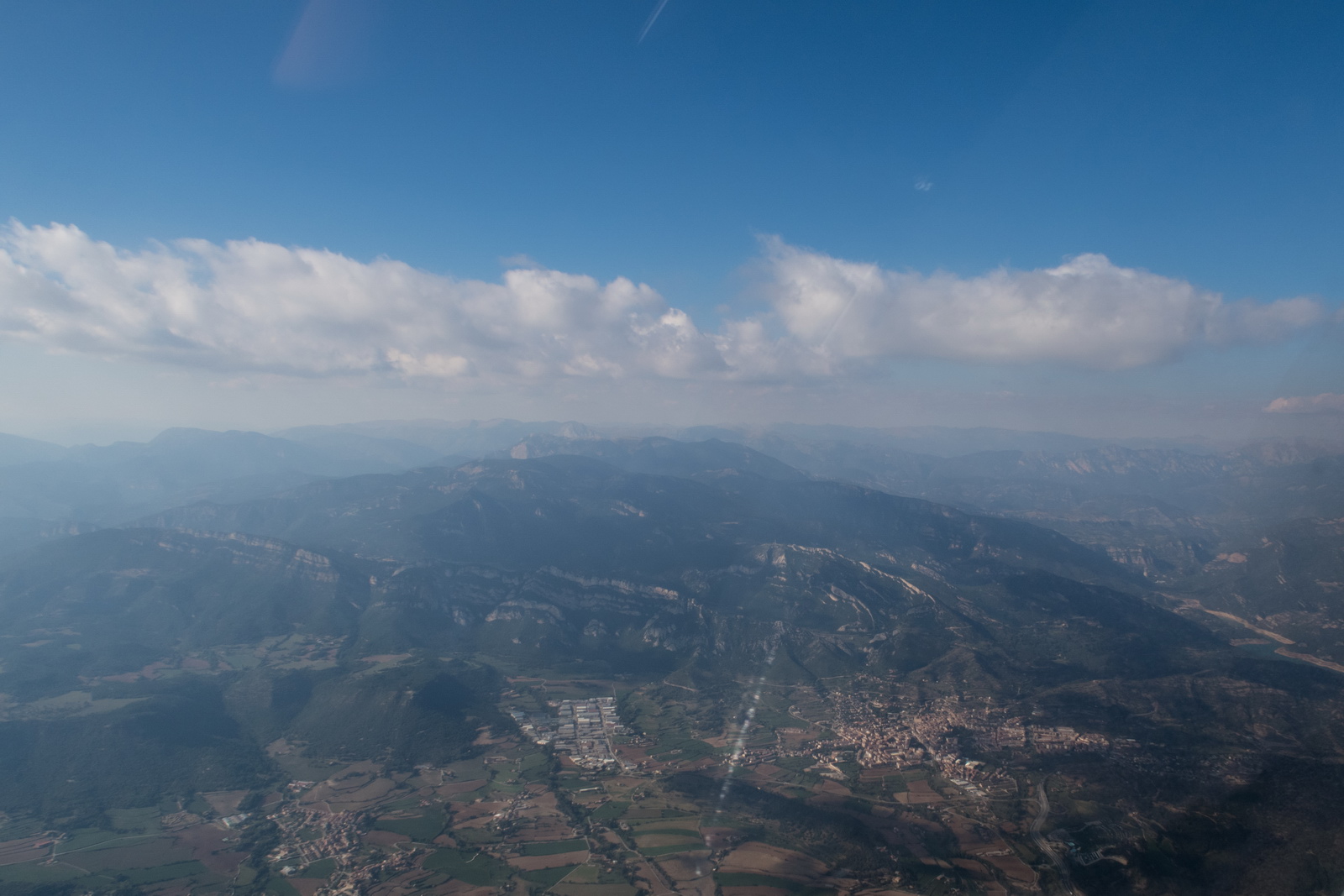
Now in Spain, with the signature terrain formations
Approaching Girona, some terrain
and then the coast
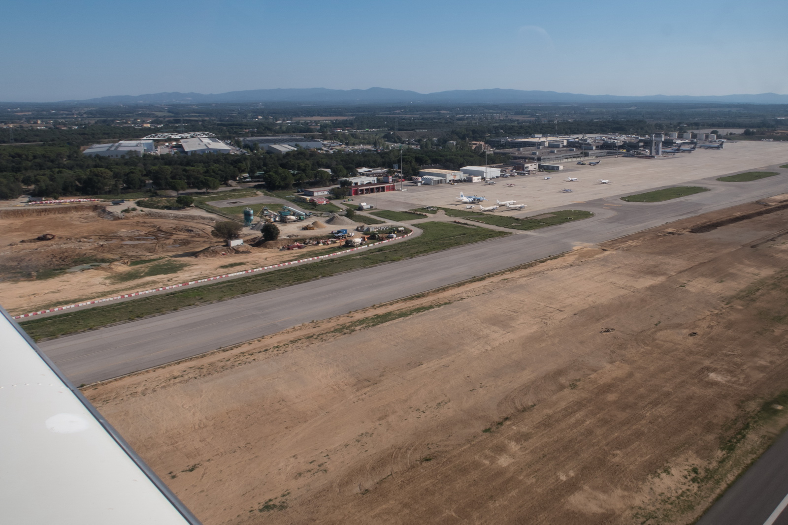
Girona airport is now visible in the haze, from the ILS
Everything worked perfectly, with ILS Z 19 approach.
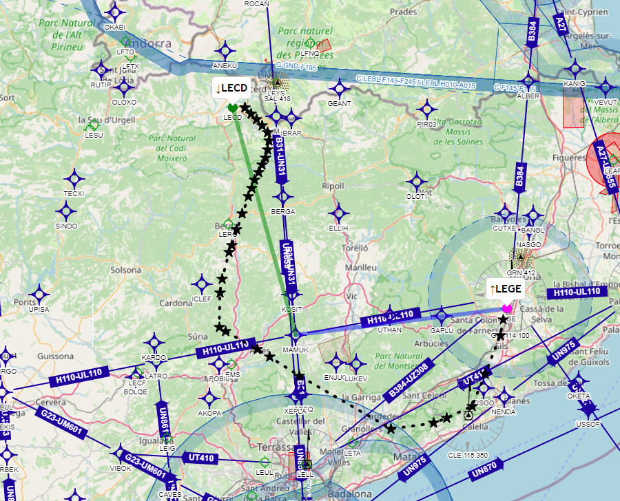
The route filed (purple) and the route actually flown from Eurocontrol tracking (black). This shows the tracking didn't start until French ATC issued the squawk and the IFR clearance. The artefacts are caused by some waypoints (including navaids like AMB) having been removed in the 3 months it took me to get around doing this trip writeup ![]()

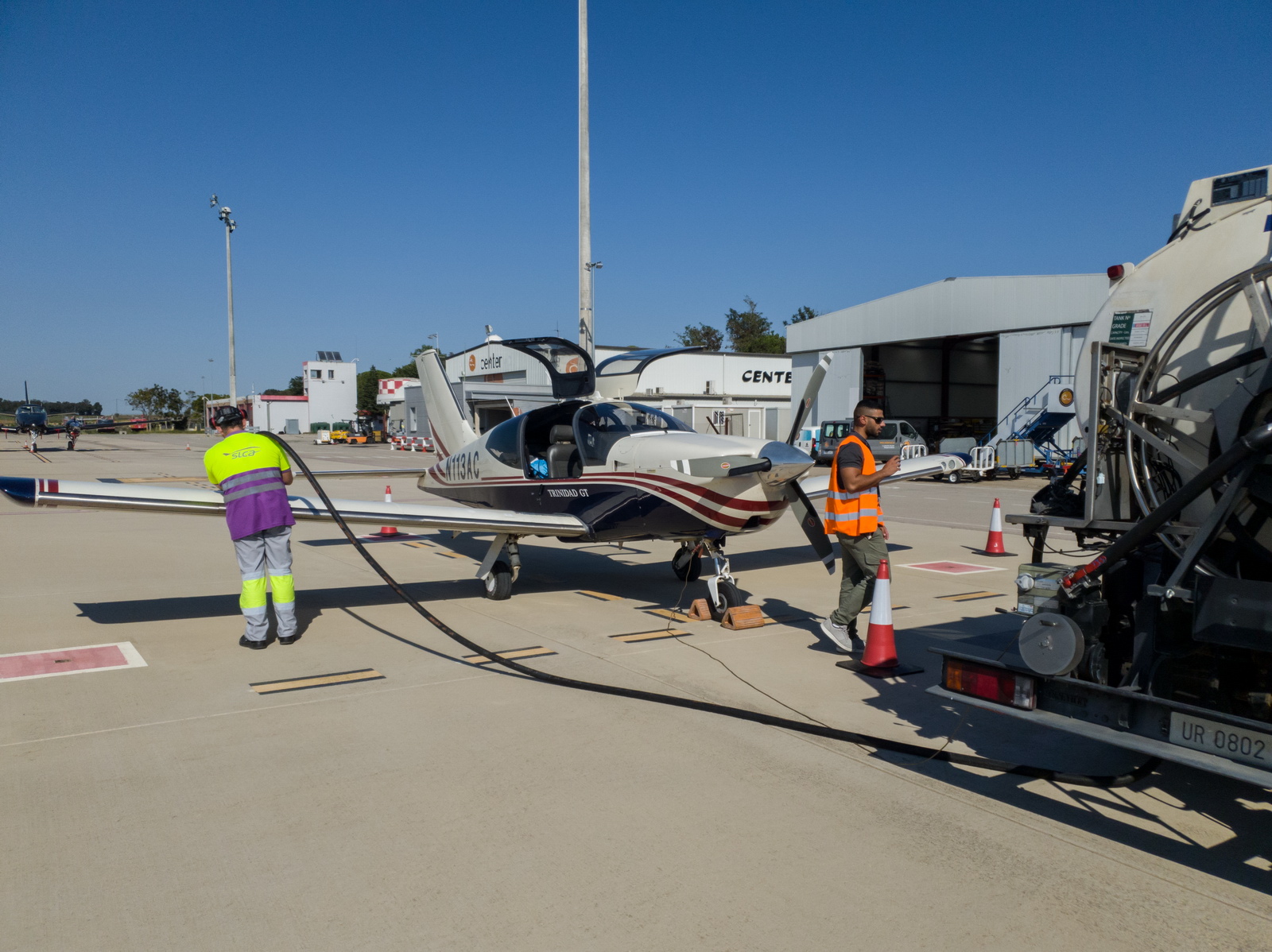
Refuelling was not fast, due to the fueller doing some airliners. This is not an unusual issue in GA. Total time on the ground was 2hrs. There was a bit of hassle, with using the toilets needing to be escorted by "security" into the Departures area; we got some refreshments at the same time. The handler (Centervol) didn't look like they do much GA and the x-ray scanner staff in particular had no idea what they should do with GA people. But frankly there is so often some "funny stuff" at Spanish airline-size airports (basically any place with more than 1 airliner per month) due to untrained / inept / disinterested staff, so extra time needs to be allowed. In the end the 1600 departure to LECD was a bit tight given the daylight hours...
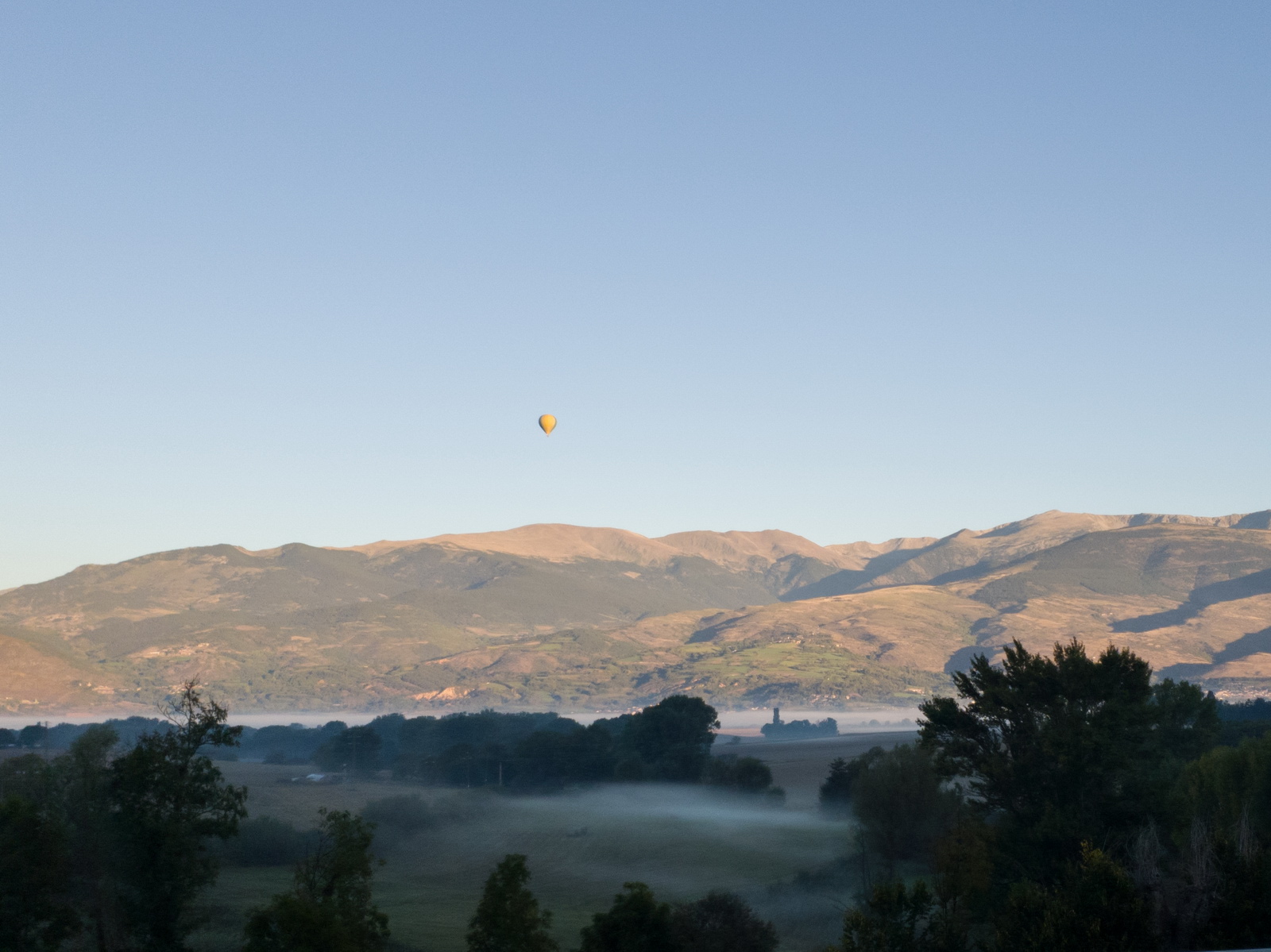
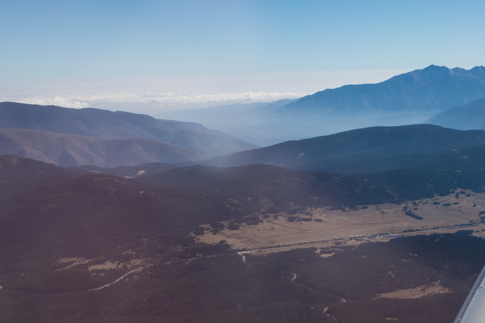
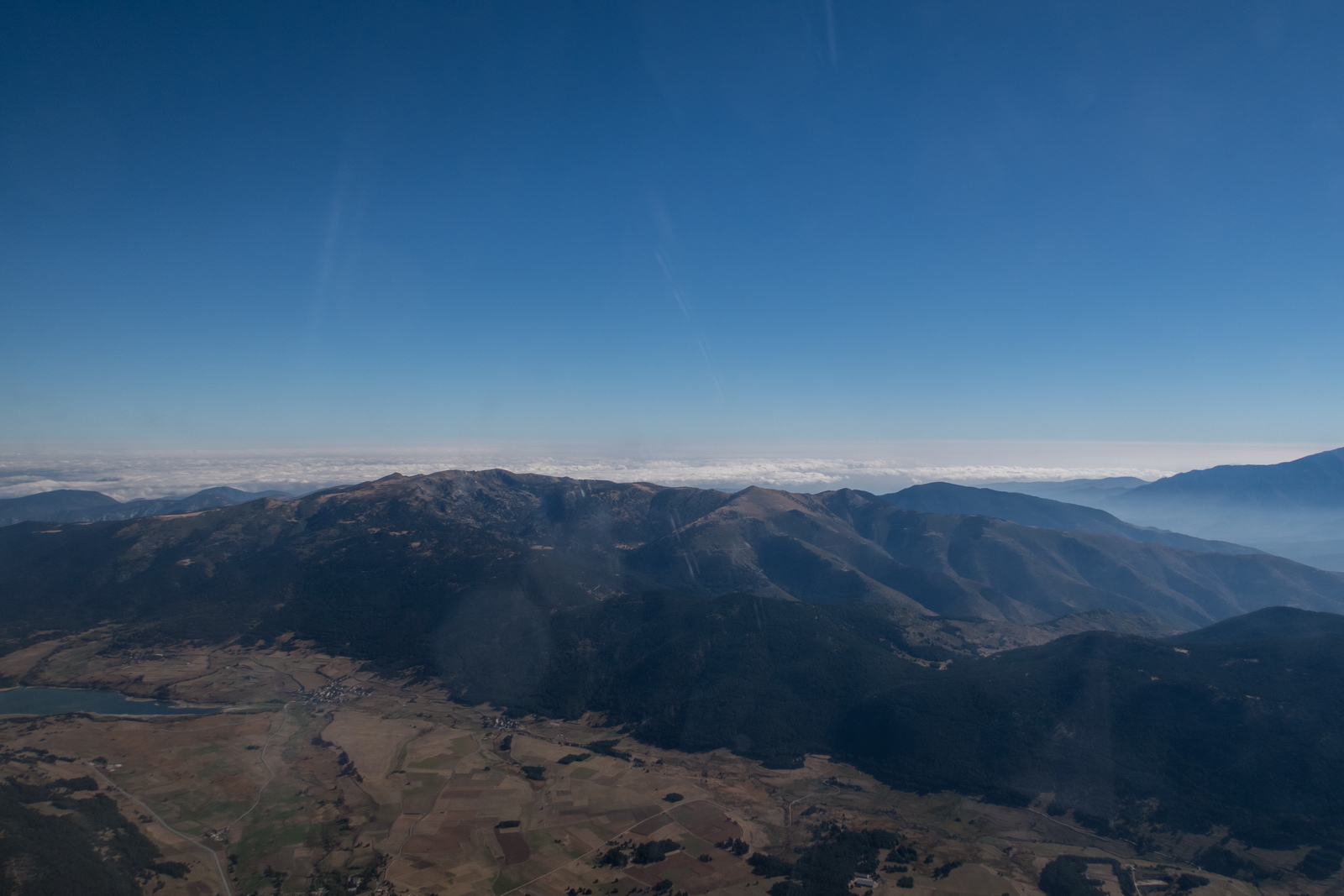
Finally we are airborne and heading for LECD in the mountains, crucially with full tanks allowing a direct flight back to the UK in case of any hassle (e.g. Caen refusing a landing because the PPR got "lost")
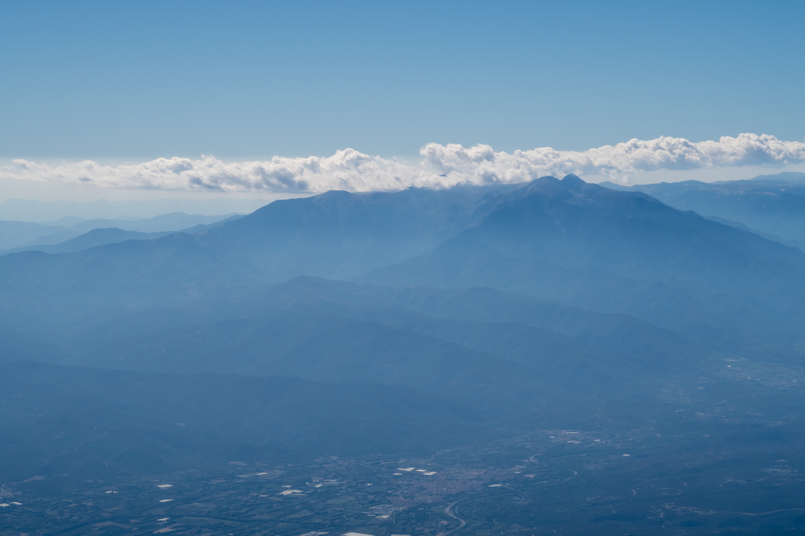
I was not sure LECD would be possible due to the clouds not being all that far above the terrain
Visibility of the terrain was always fine
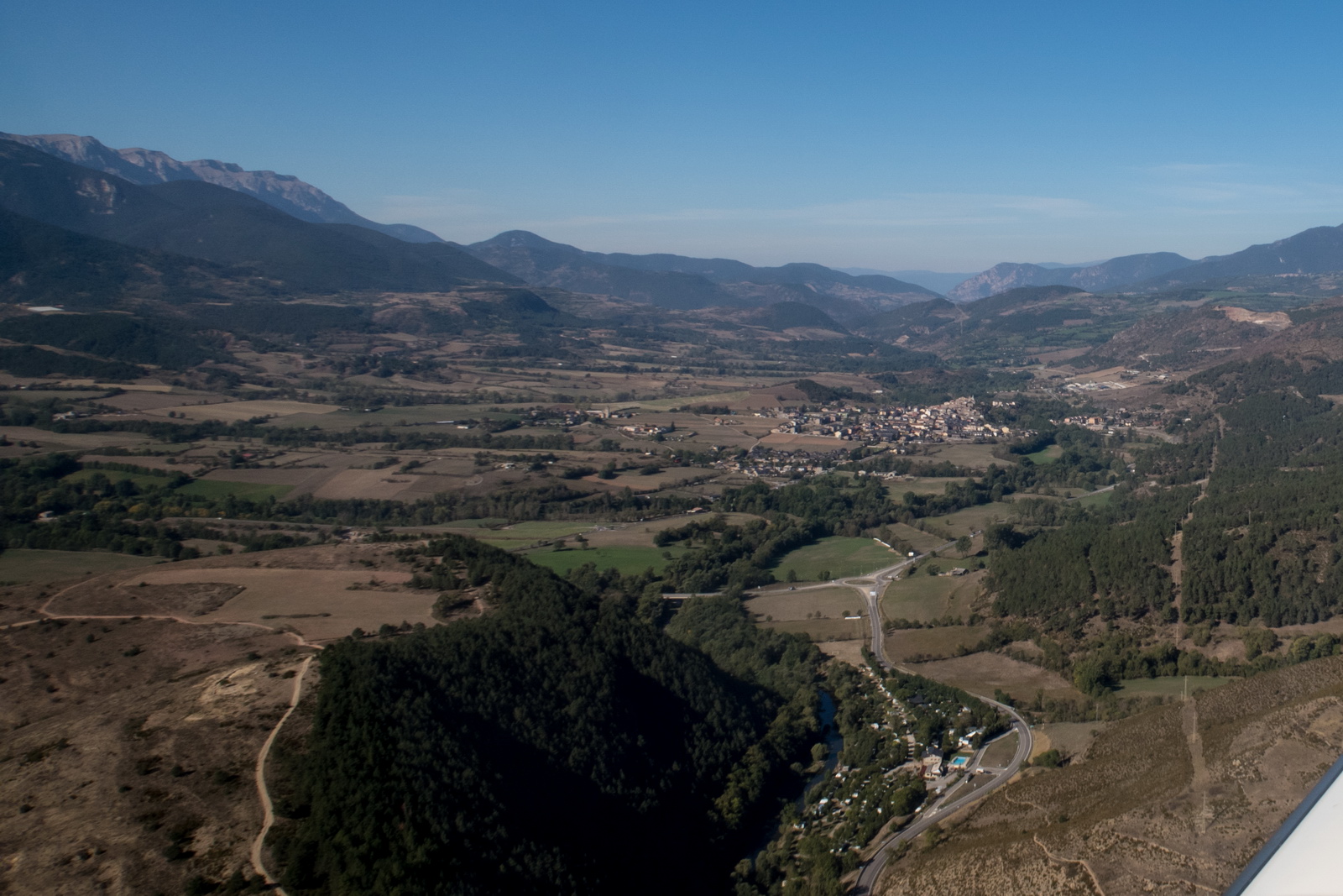
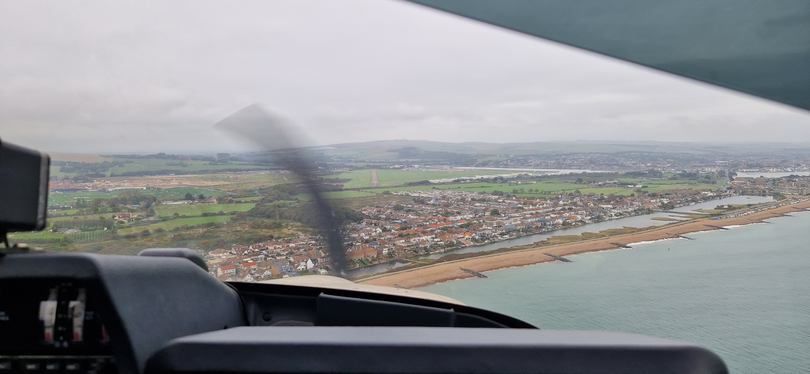
It took some "flying around" to reach LECD while remaining below the cloud
and here it is! We arrived at about 7000ft so spiralled down for a while, while making calls in English, which somebody was responding to. No other traffic was visible, visually or on TCAS
The route filed (green) and the route actually flown from Eurocontrol tracking (black). The continuous tracking shows that Barcelona ATC didn't cancel IFR until we called them we had LECD in sight
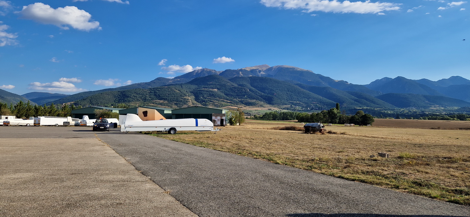
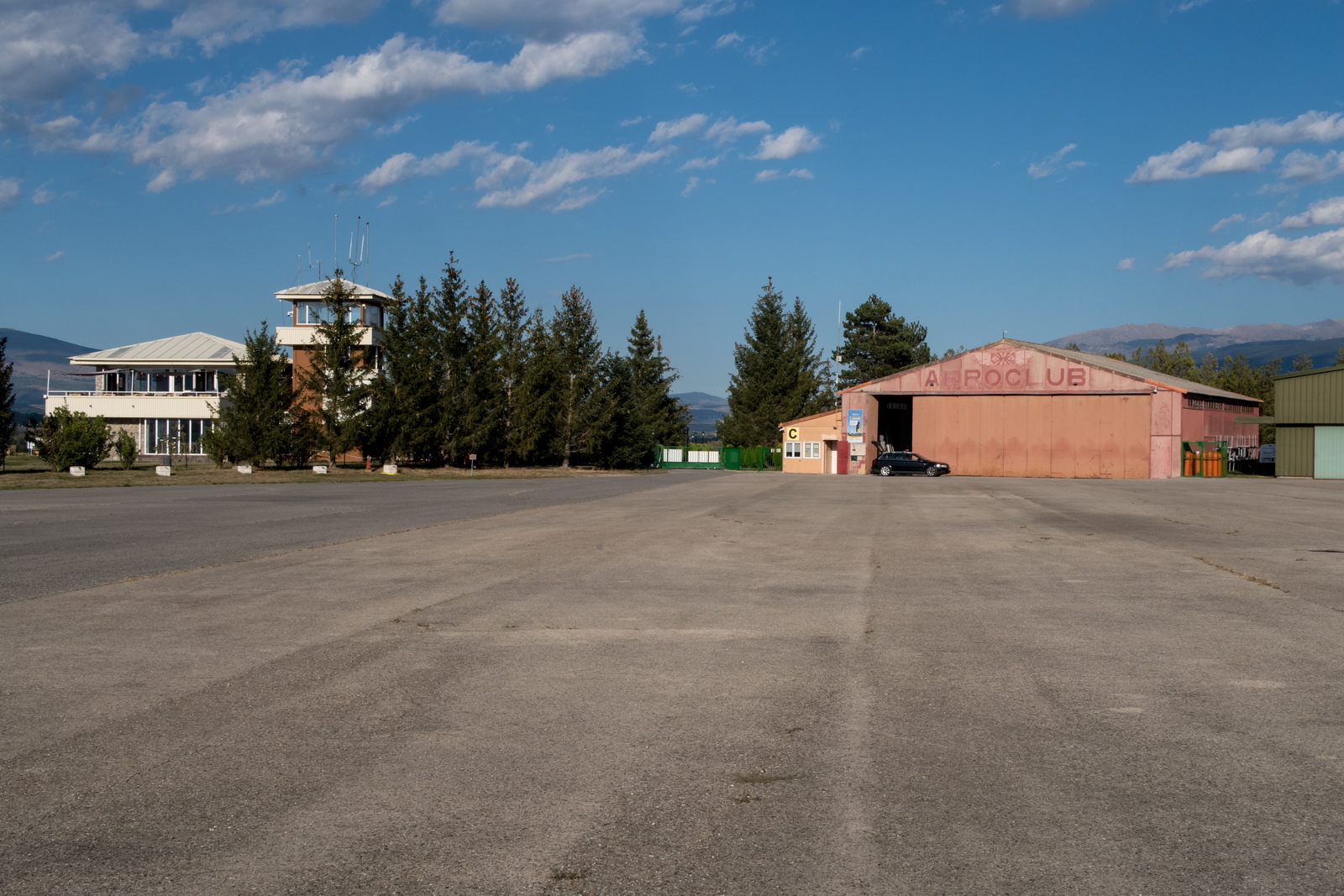
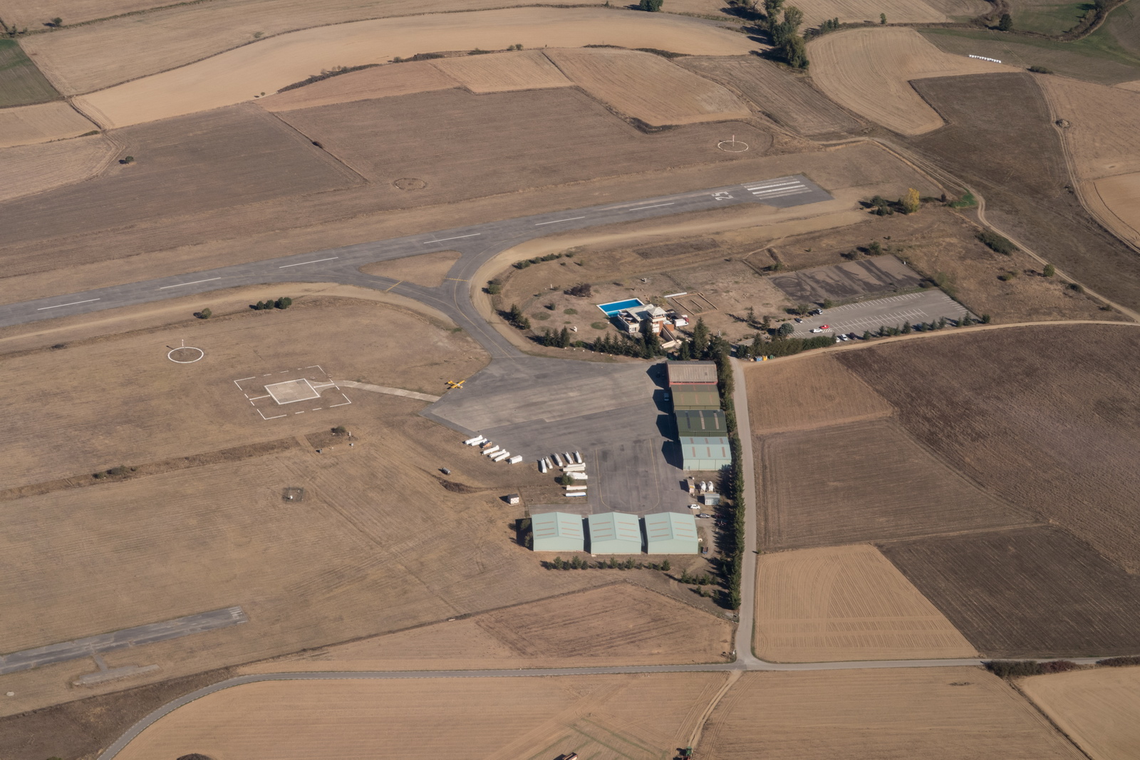
Everything was easy on the ground. Landing fees to be paid on departure, to the friendly woman in the office. No "official" fuel although - as per aeroclub tradition everywhere in S Europe - they undoubtedly have some for their own use but aren't supposed to sell it to outsiders due to operating under some "charitable organisation" provision ![]()
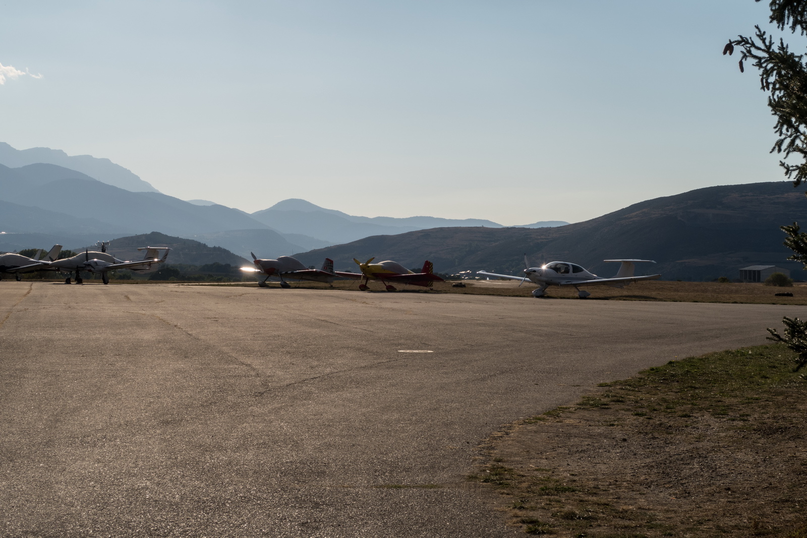
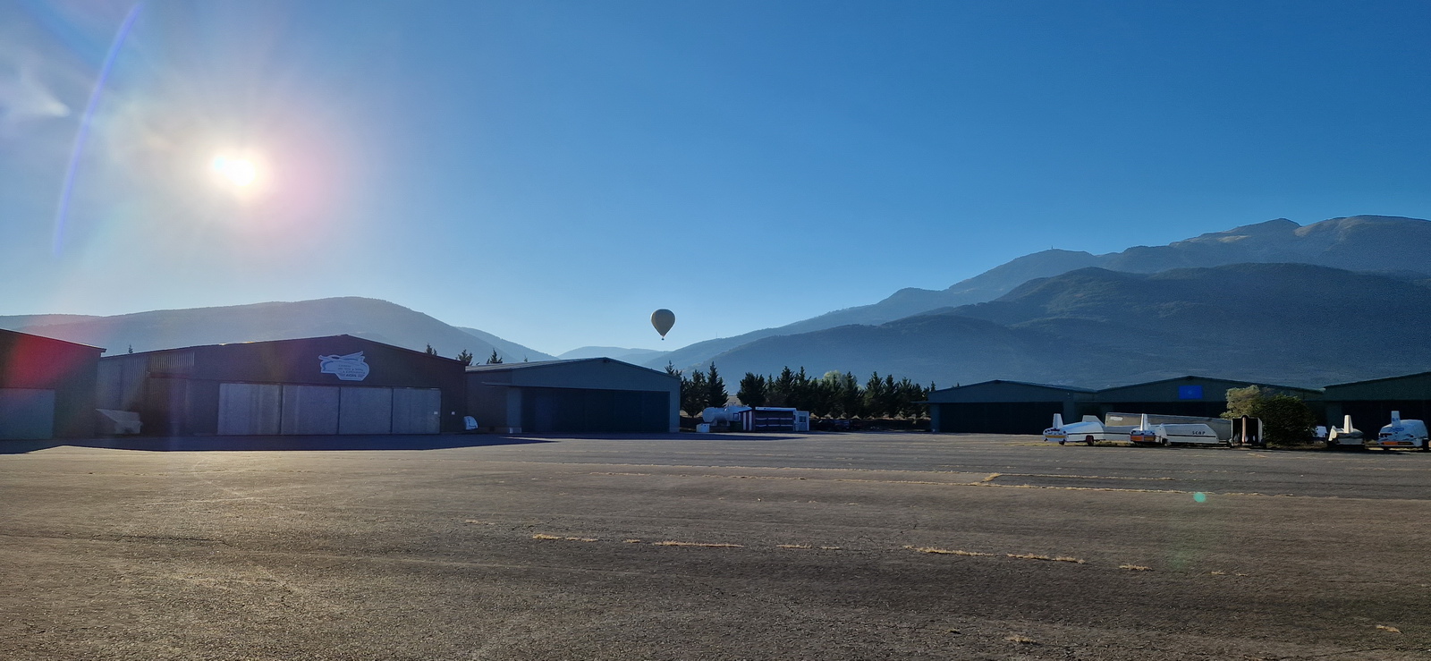
Some of the others had already arrived
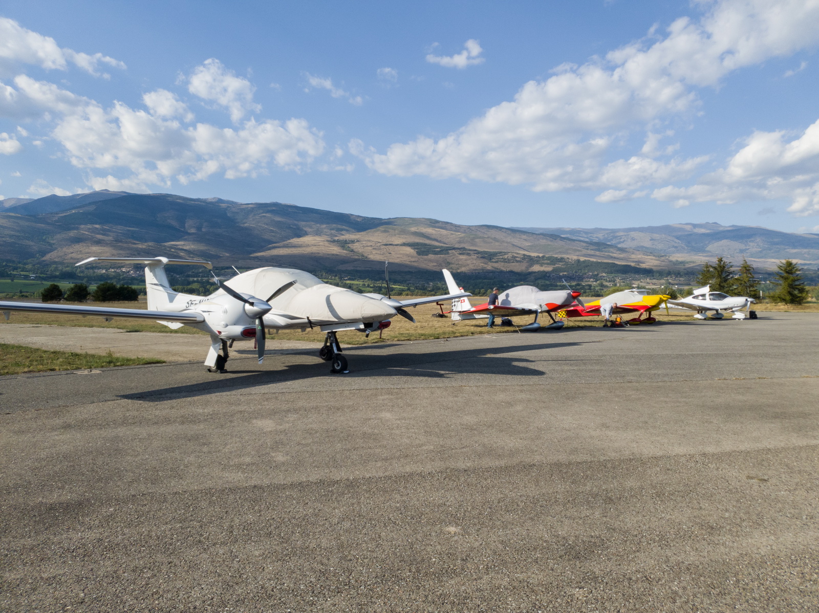
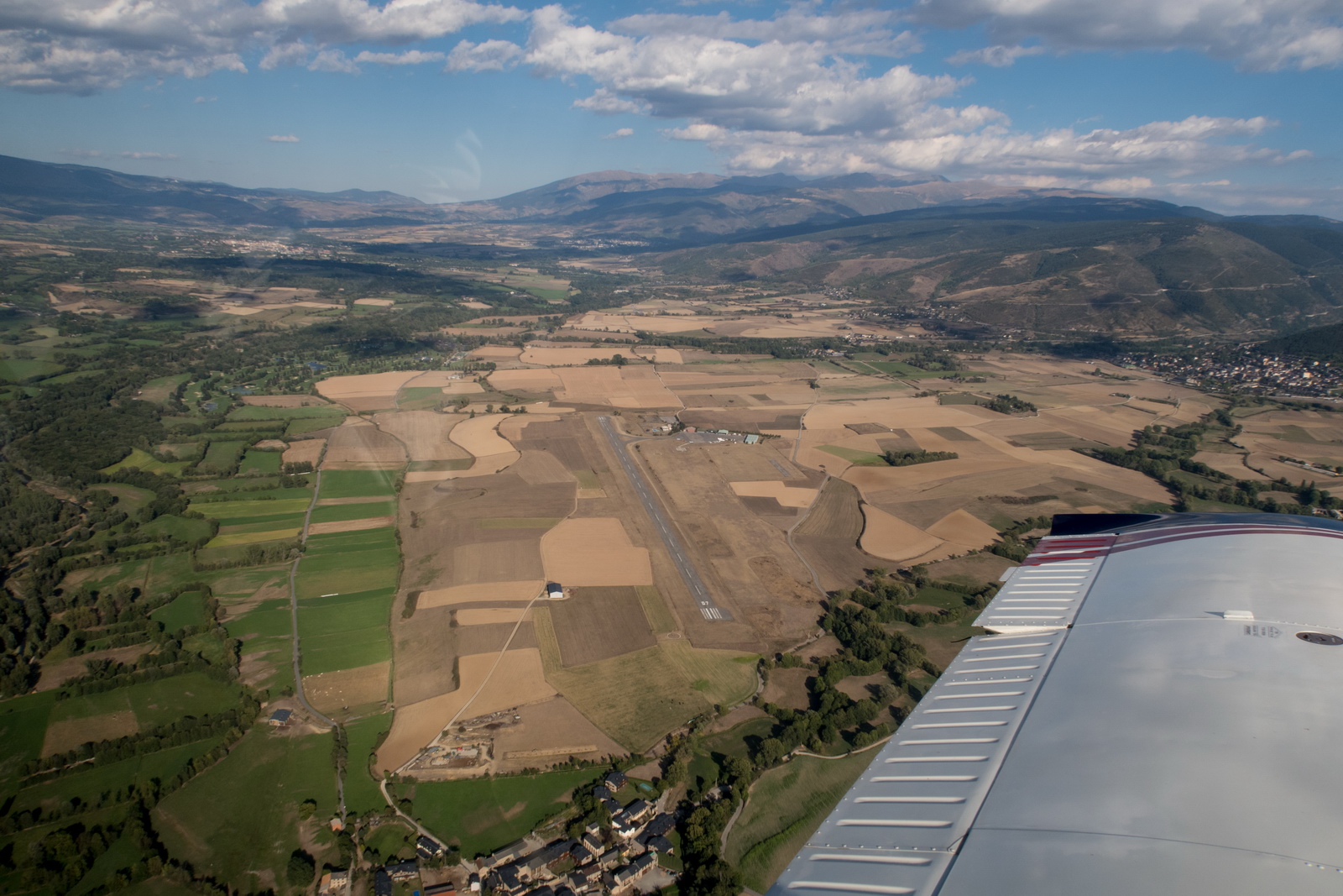
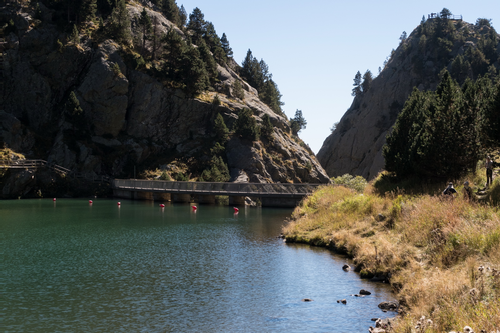
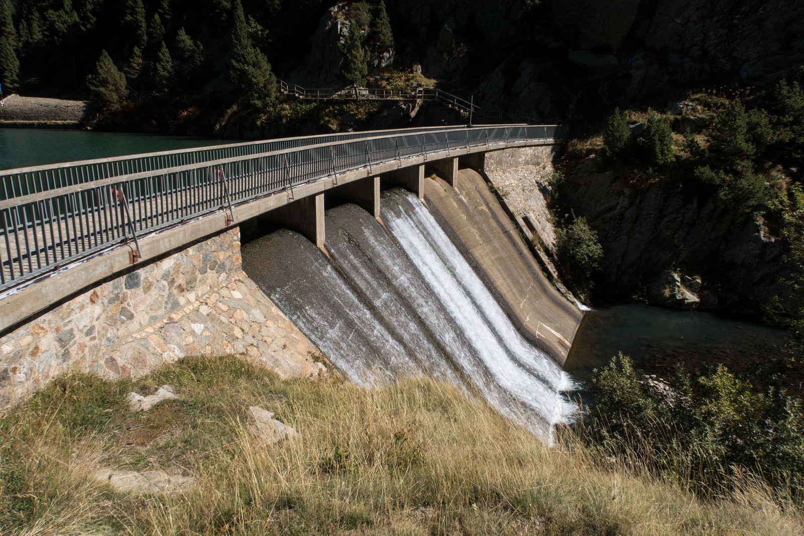
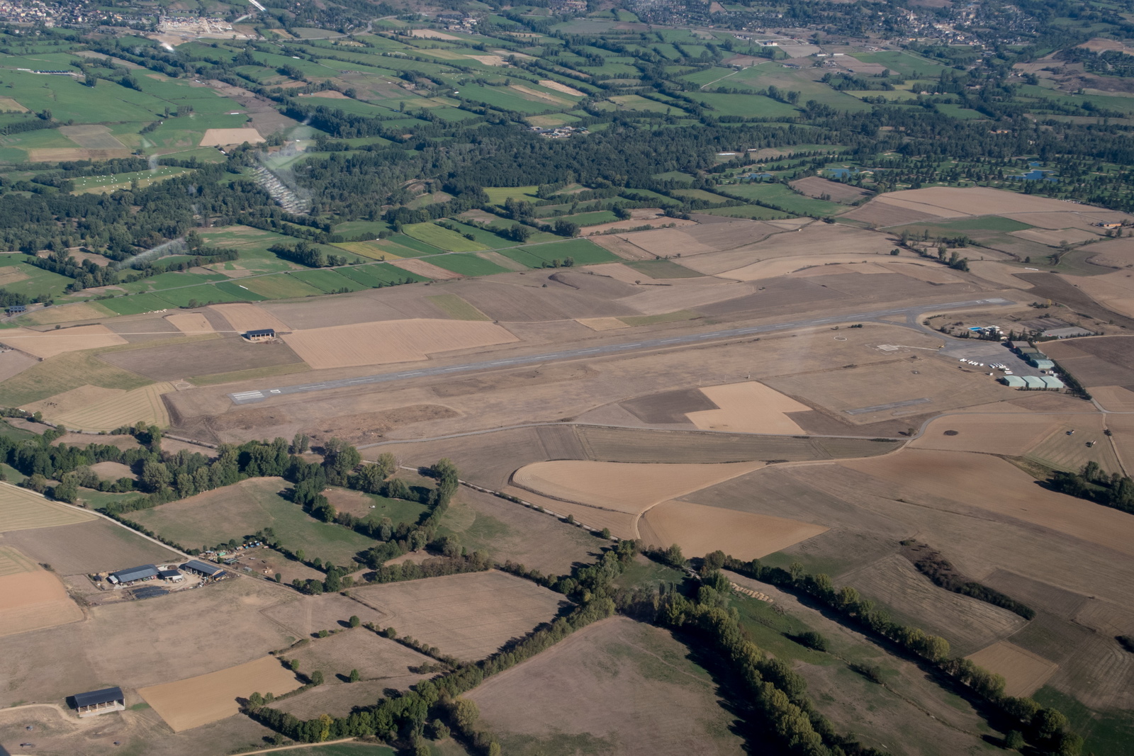
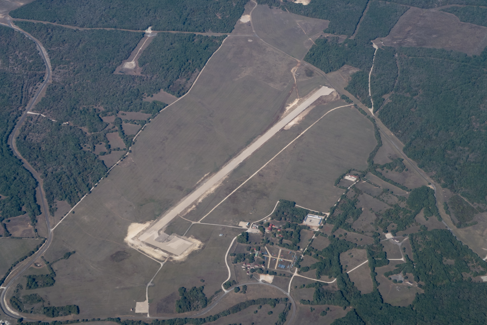
Plenty of gliding goes on here, unsurprisingly due to the hills around. One can see the airfield is in relatively open terrain; it just looks "difficult" from certain directions ![]()
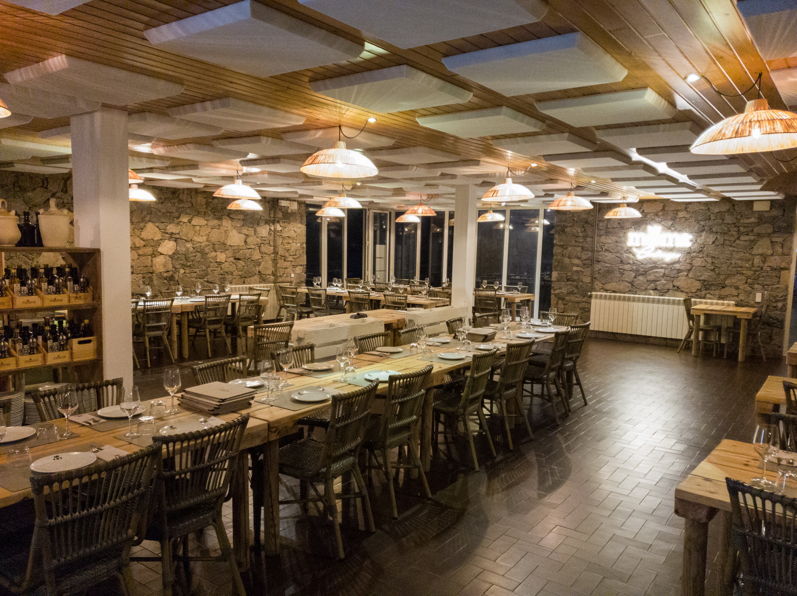
The building to the left is the excellent restaurant Mooma where we had several meet-ups including the big dinner
The restaurant is "quite civilised" - this is clearly for use in the +45C Spanish summer ![]()

This one generated a few comments ![]()
The organiser of the LECD meet-up, Aart, doing his best Tom Cruise / Top Gun impression ![]()
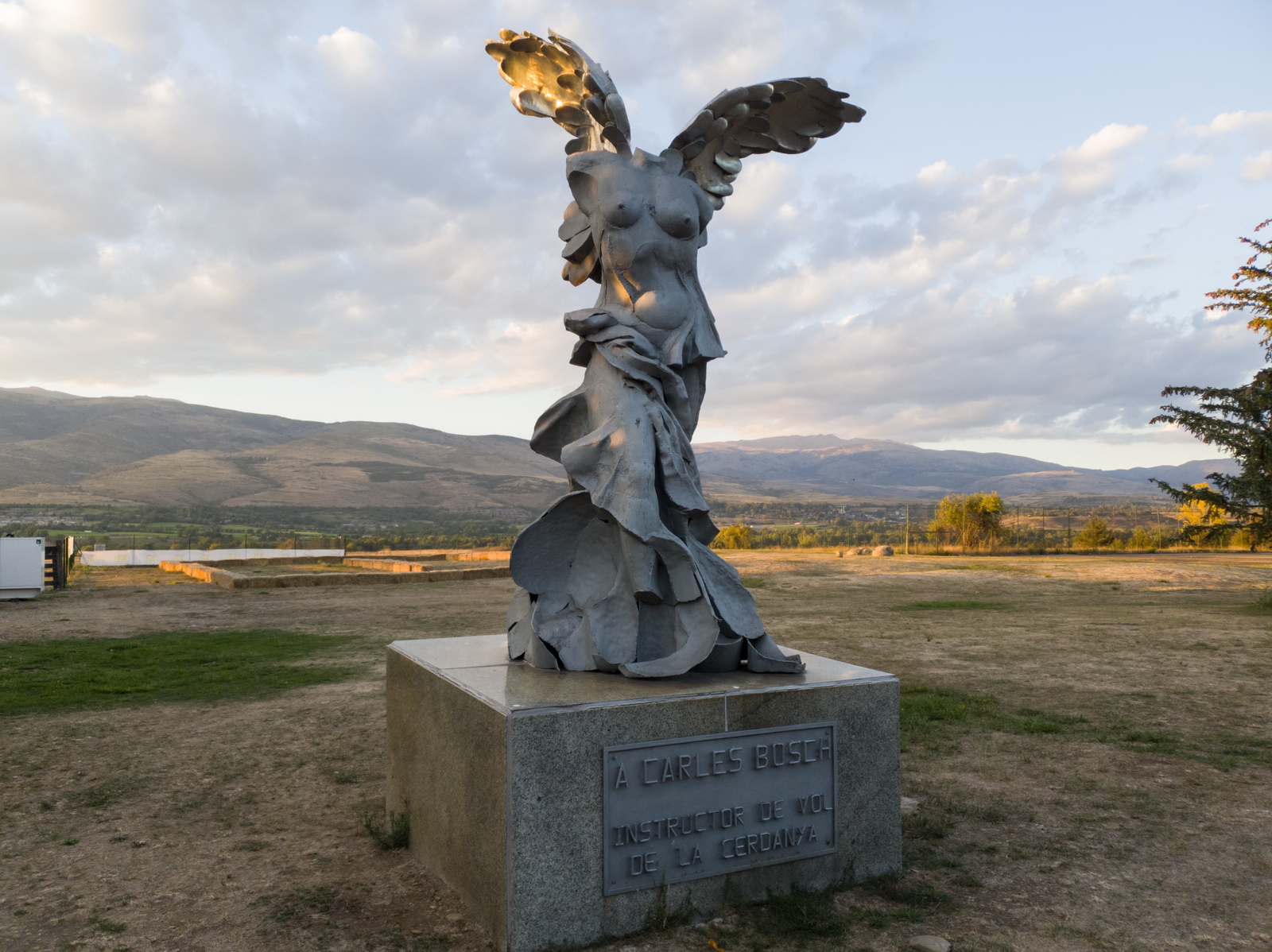
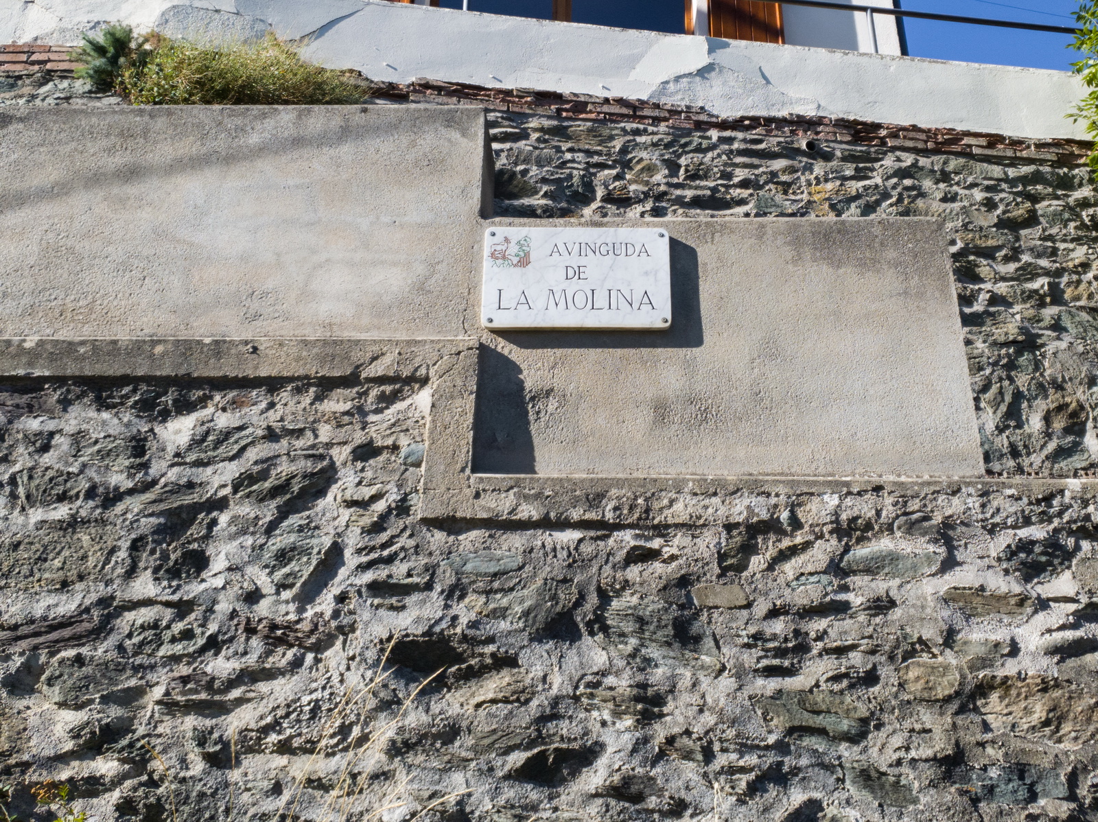
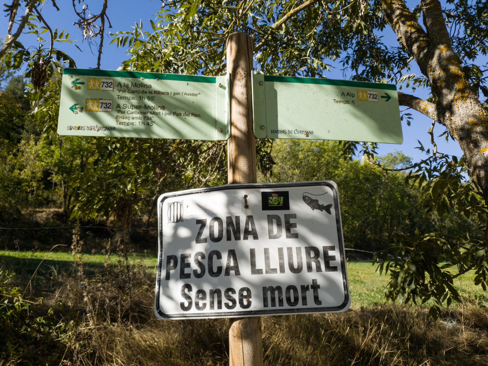
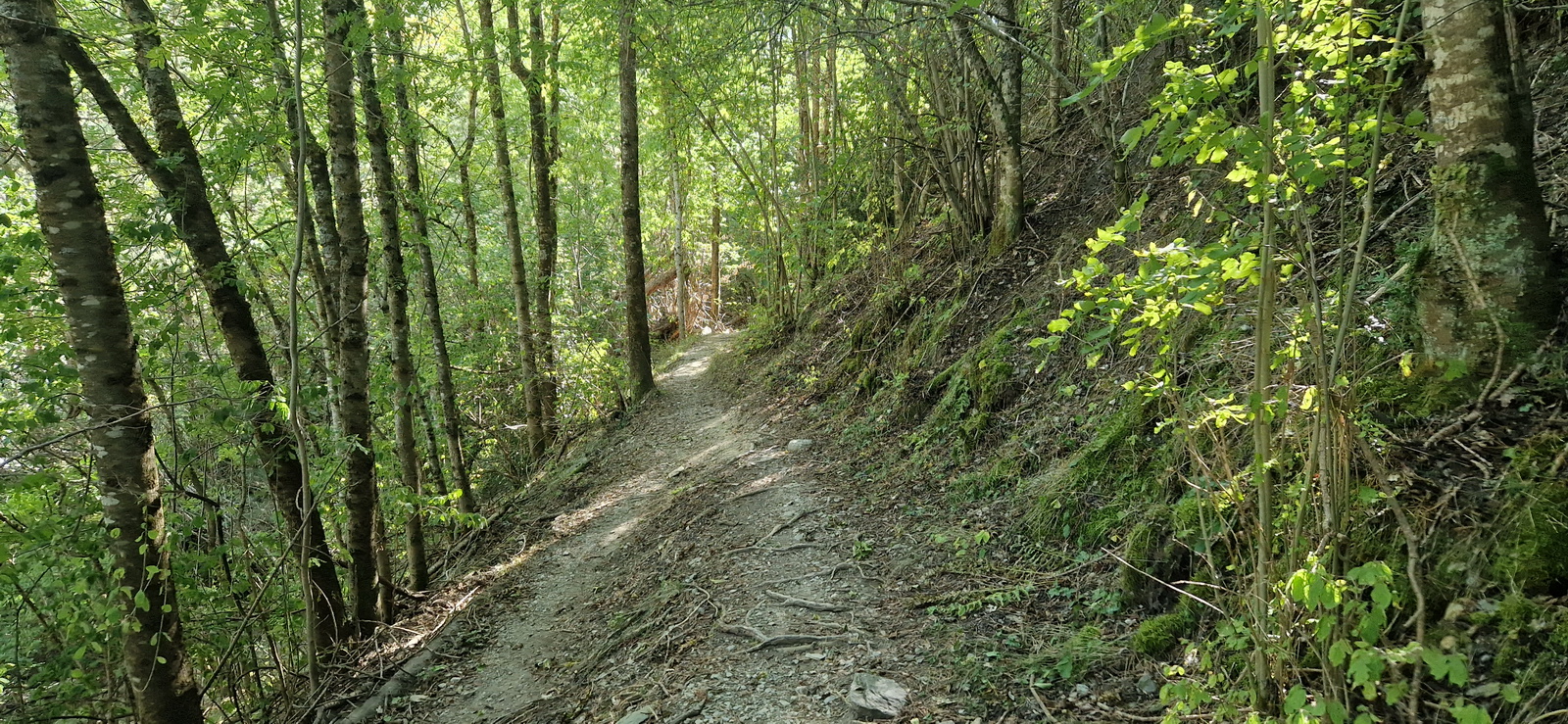
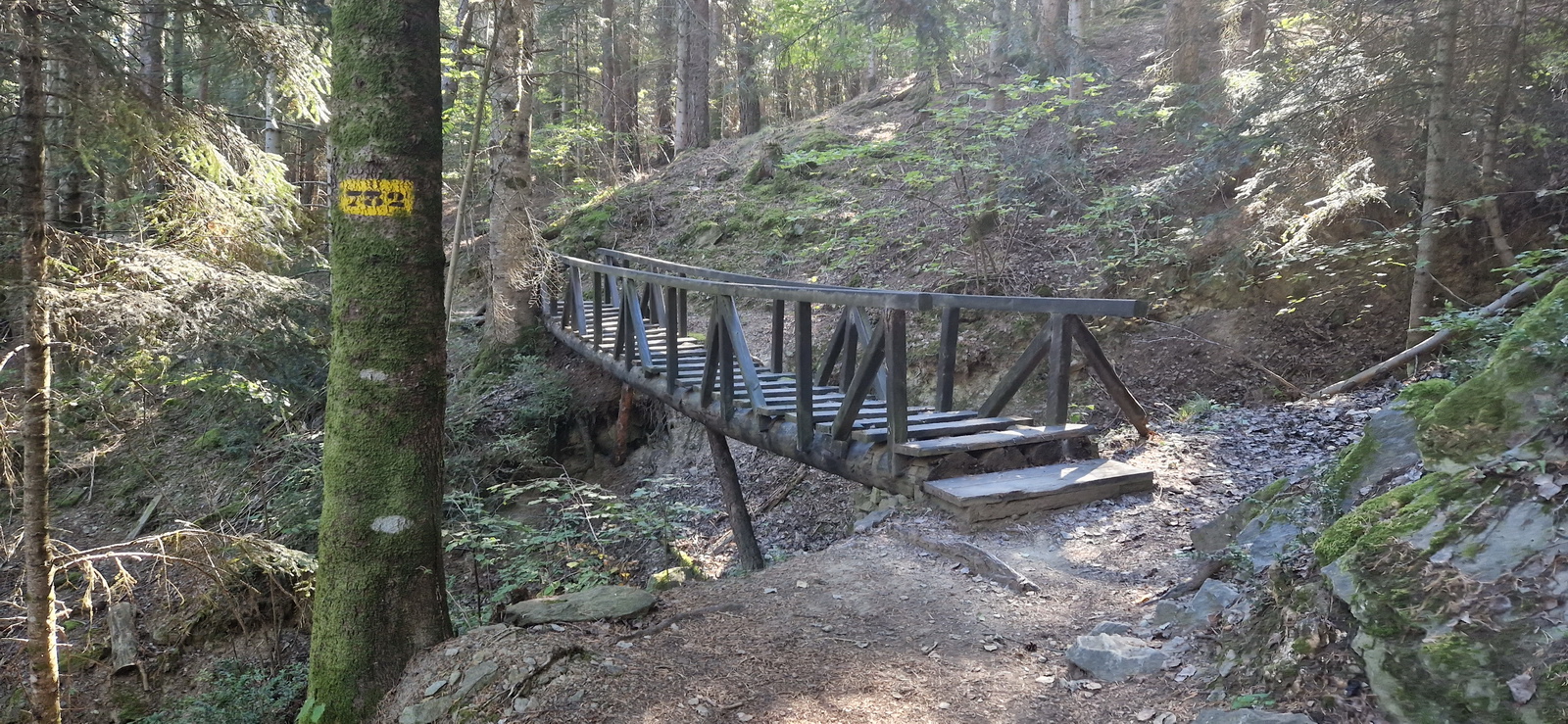
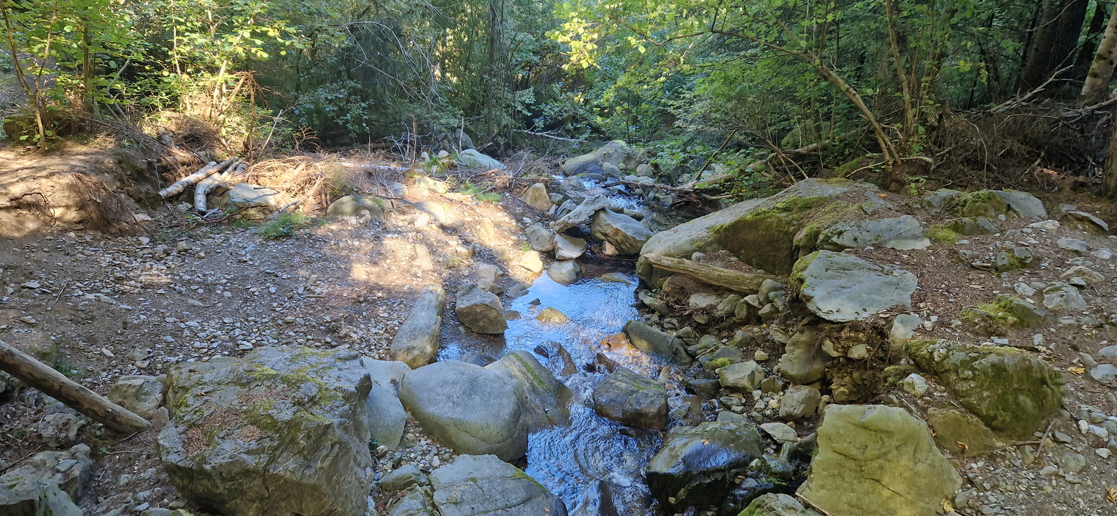
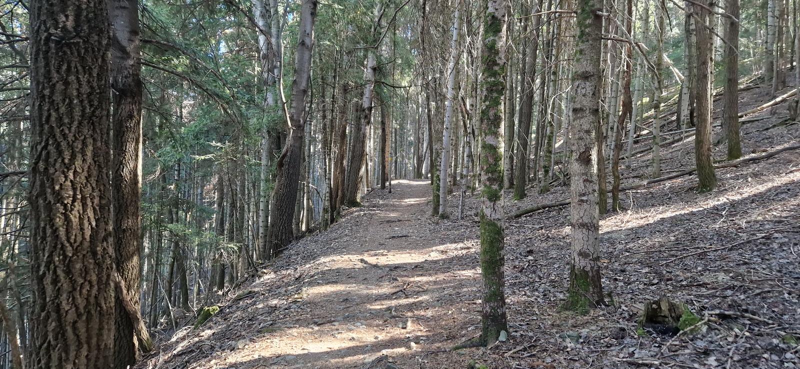
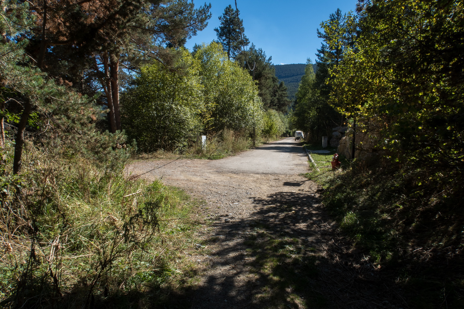
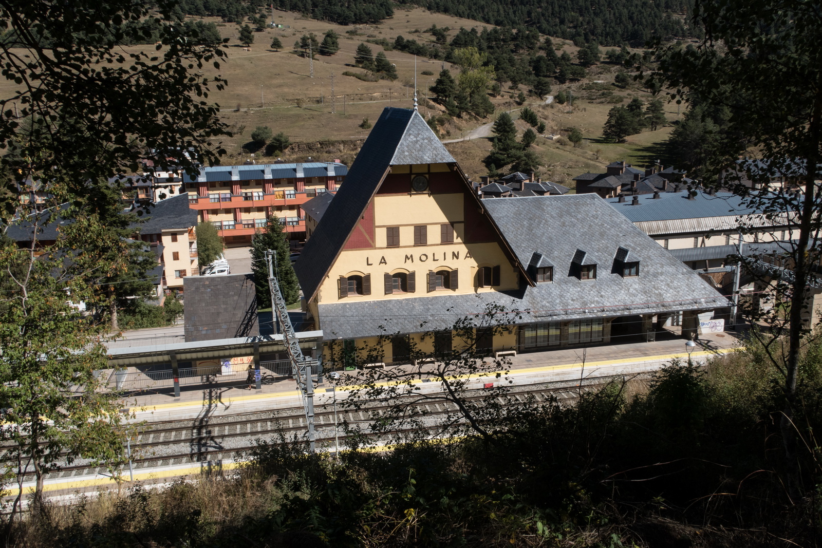
The following morning, Colm and I got up early for a forest hike to La Molina - a town a few miles away
The 1hr 55 mins was optimistic by about 2x ![]()
It was pretty hot but the walk was mostly nicely sheltered in the trees. The altitude was significant - around 5000ft
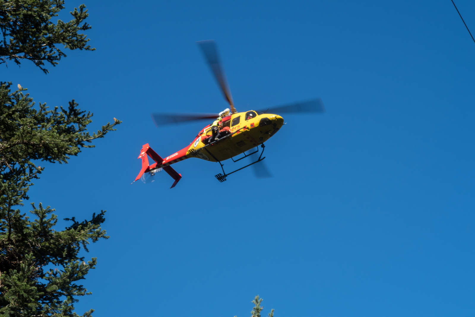
We saw a dramatic helicopter winch rescue, through a hole in the tree canopy, of a mountain biker who came off the track
Almost done
Local wildlife

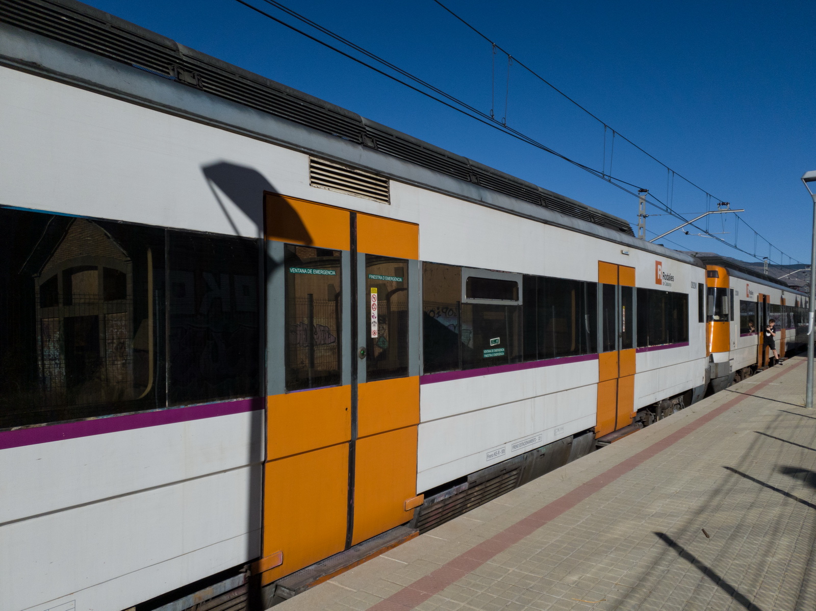
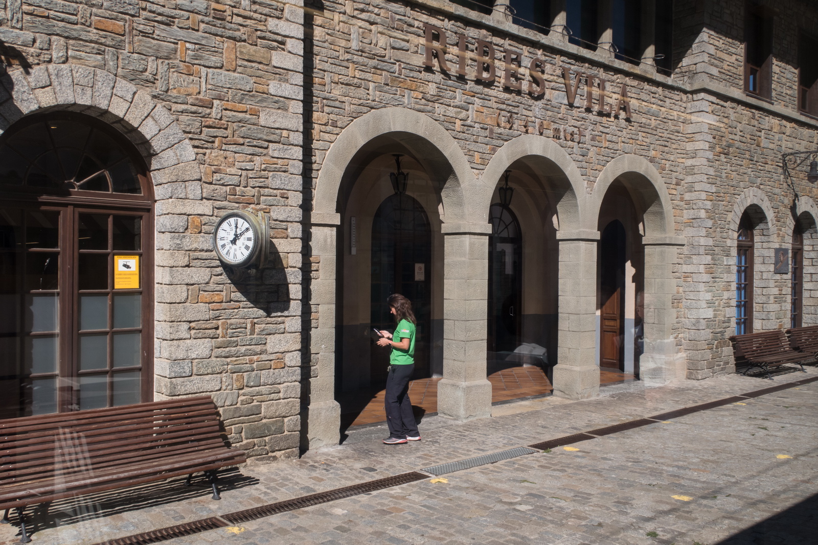
The train station. No trains due to some incident on the track. The place was pretty dead but we managed to find food and then miraculously found a taxi driver who we recognised from La Cerdanya and waved him down ![]()
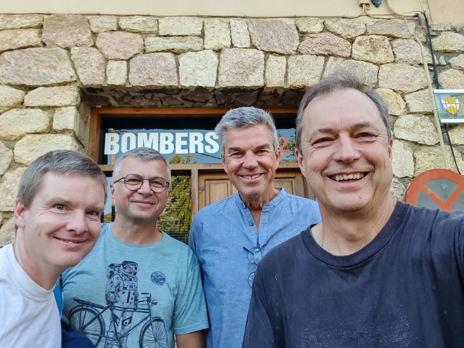
The main troublemakers: Colm, Emir, Aart and myself ![]()
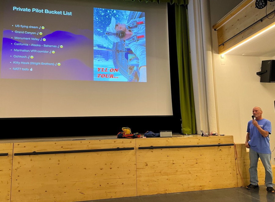
Dan did a superb presentation on his RV flight to the US
The Mooma restaurant
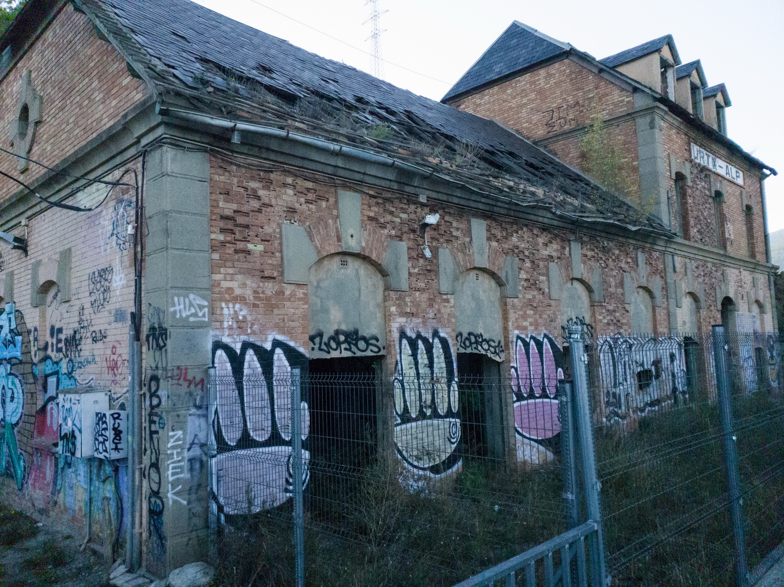
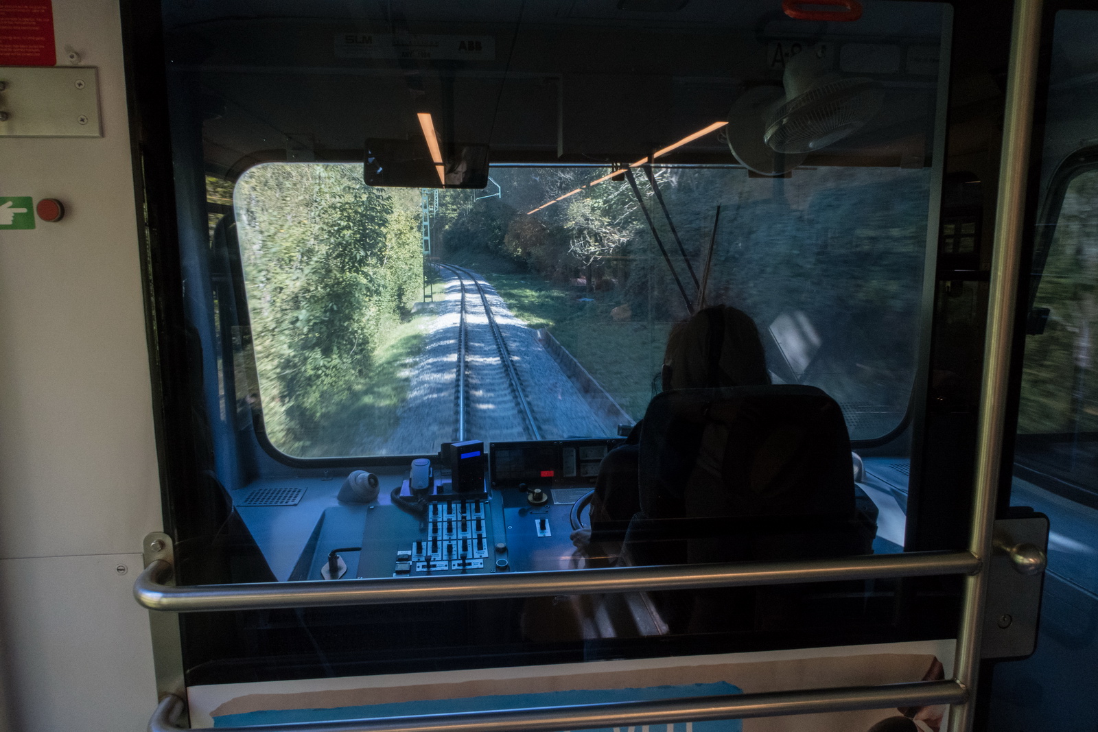
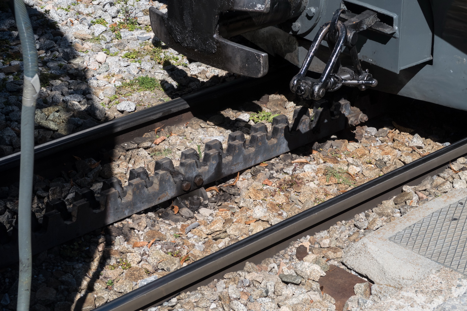
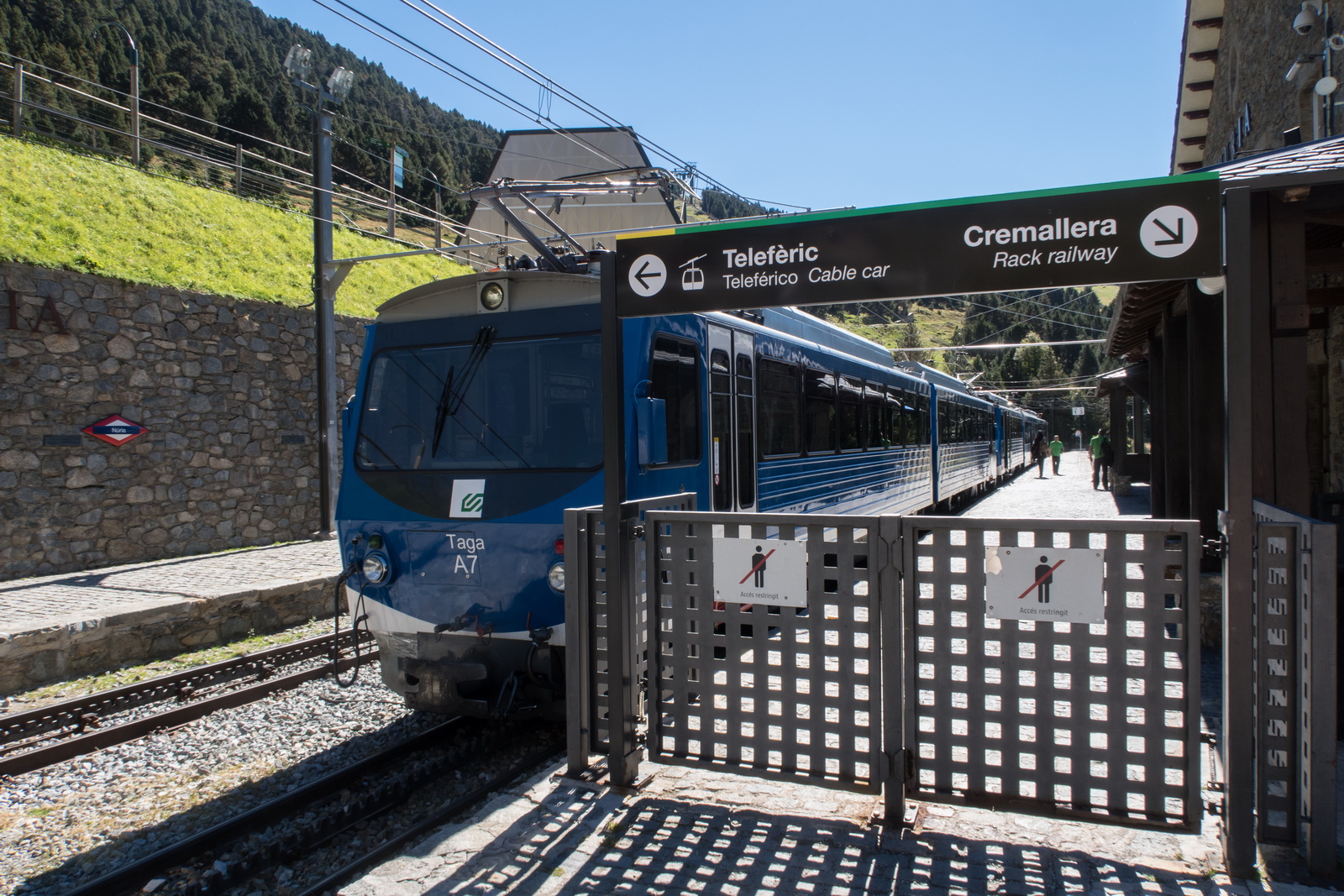
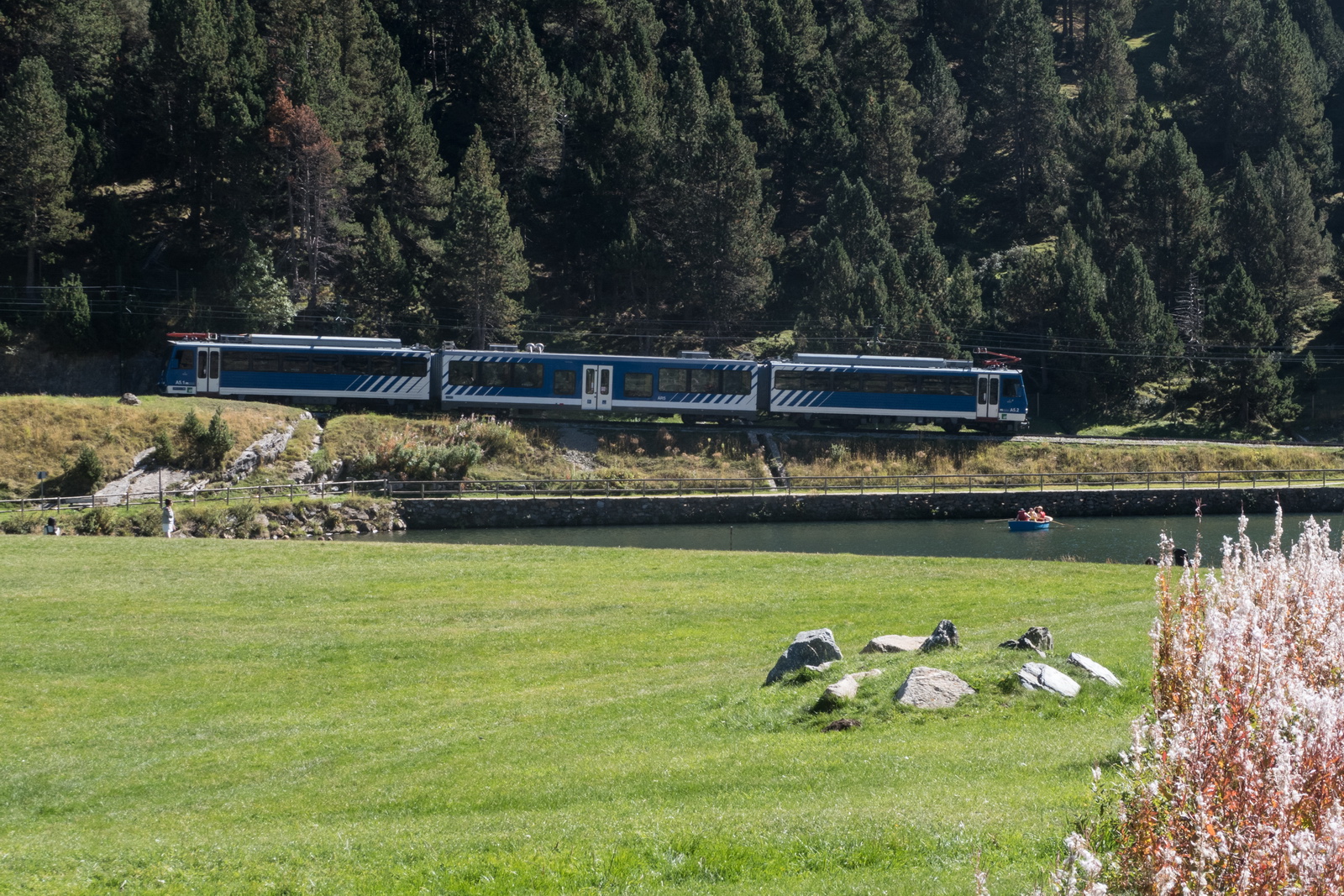
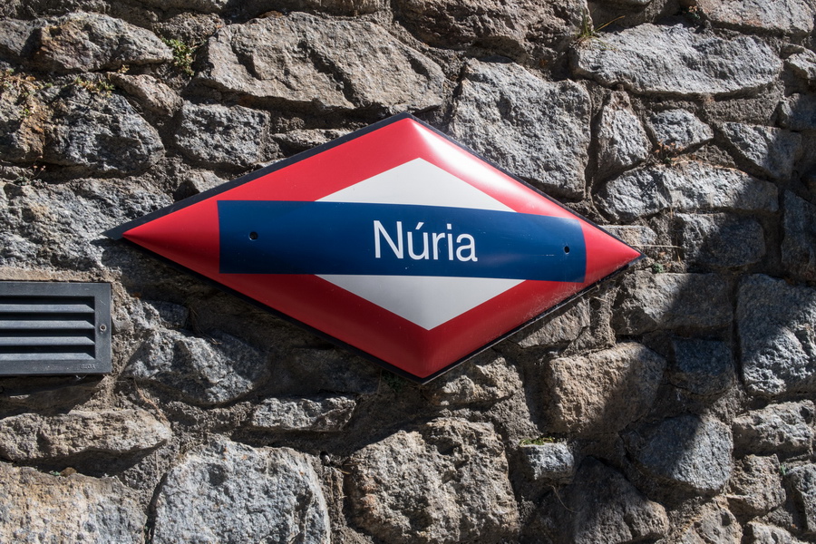
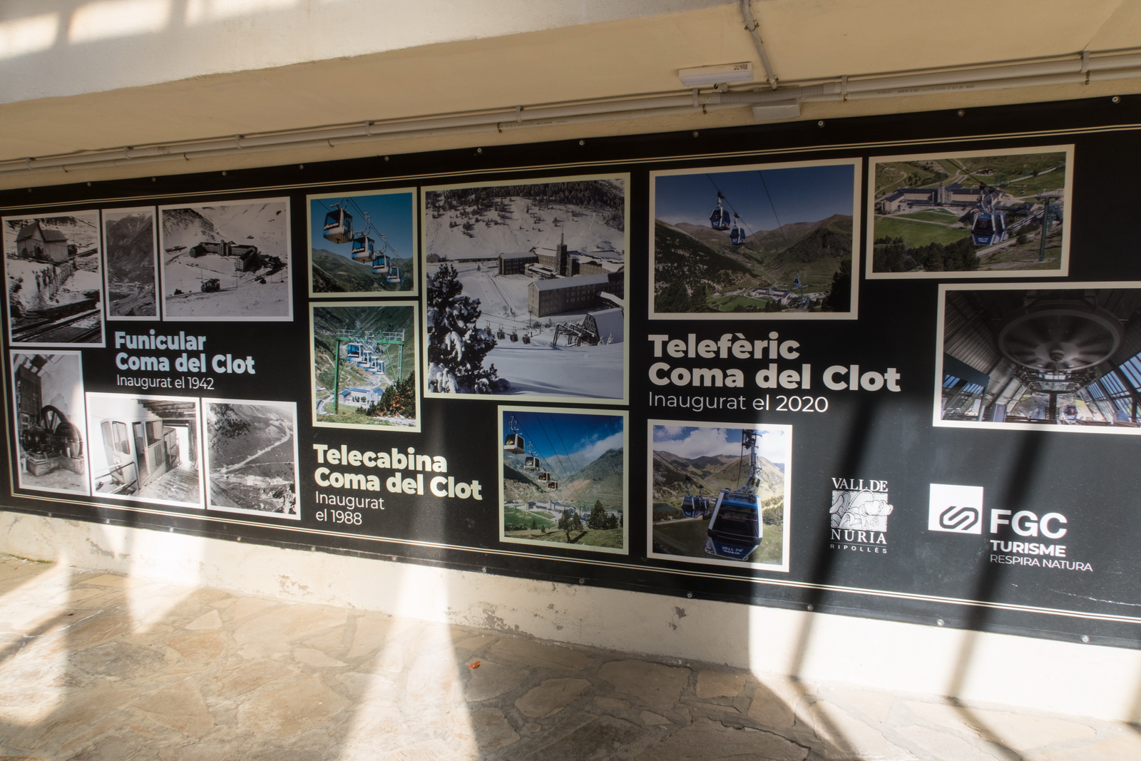
Next morning, going for a train ride to the mountains. The La Cerdanya / Alp train station is abandoned and fenced off (just as well since a large crazy dog was running around there trying to jump over the fence) but the train still stops there ![]()
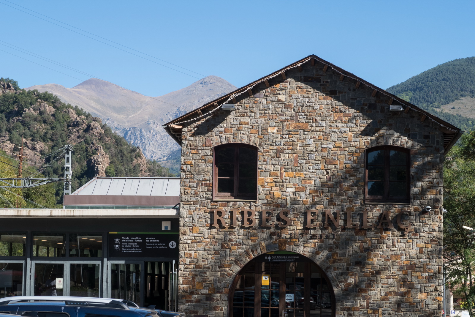
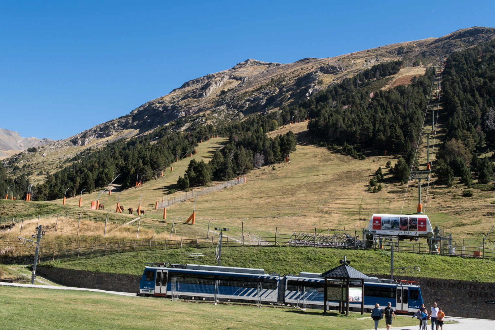
Changing to another train which can use the toothed rail in the middle
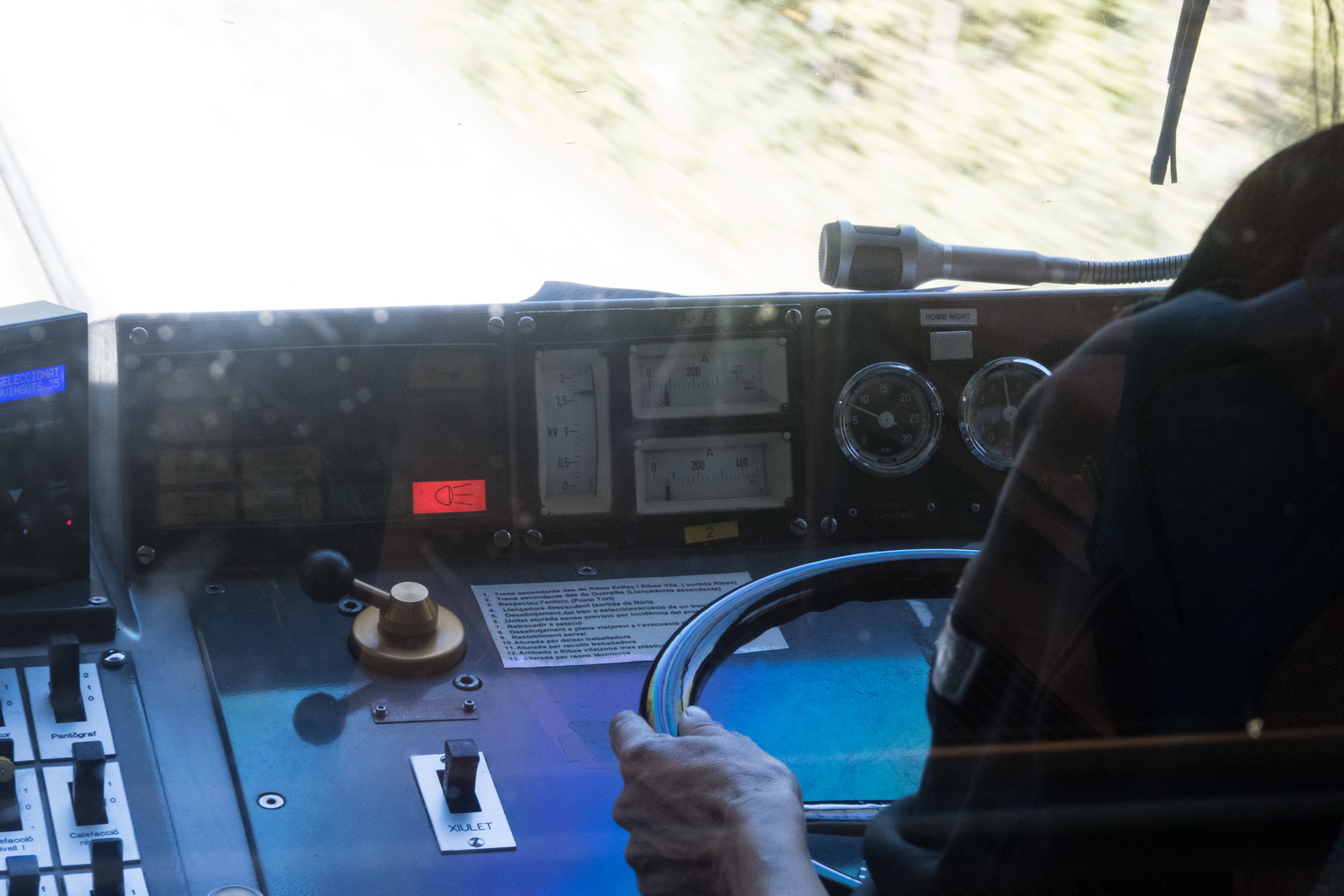
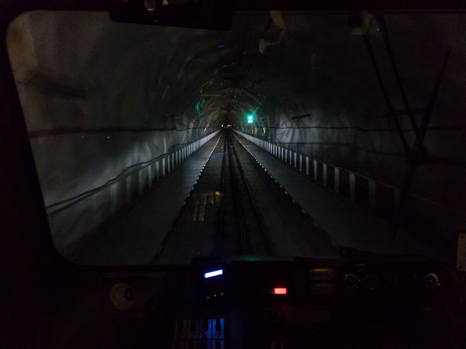
This was brilliant - you could see in front of the train what the driver saw. The driver was a woman who looked like she carries an ATGM in her spare time - this is Catalonia after all ![]()
The instruments showed the power used - up to 1 MW.
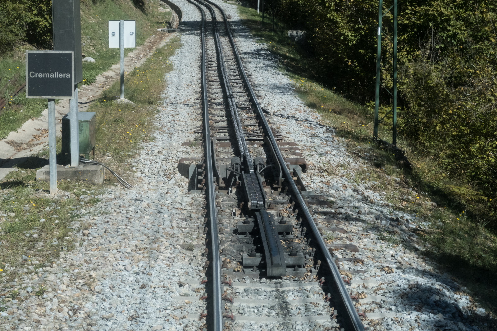
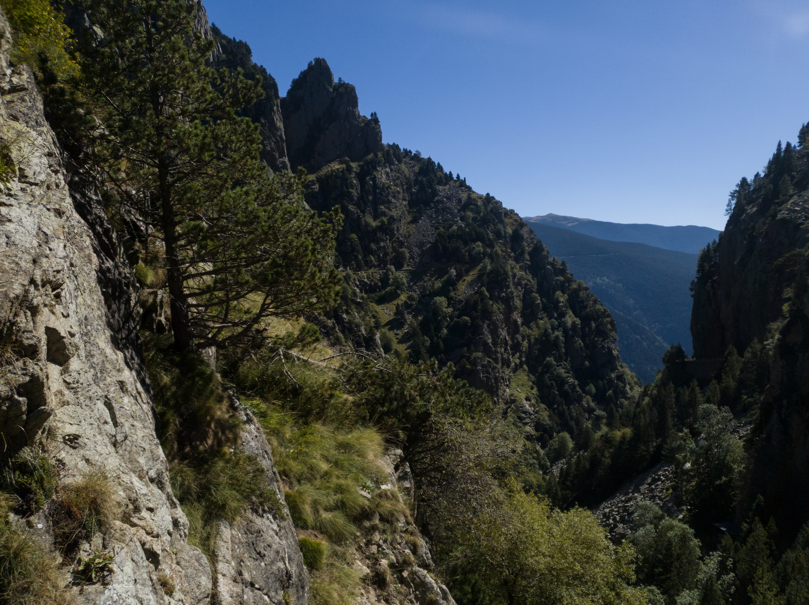
The start of the middle rail
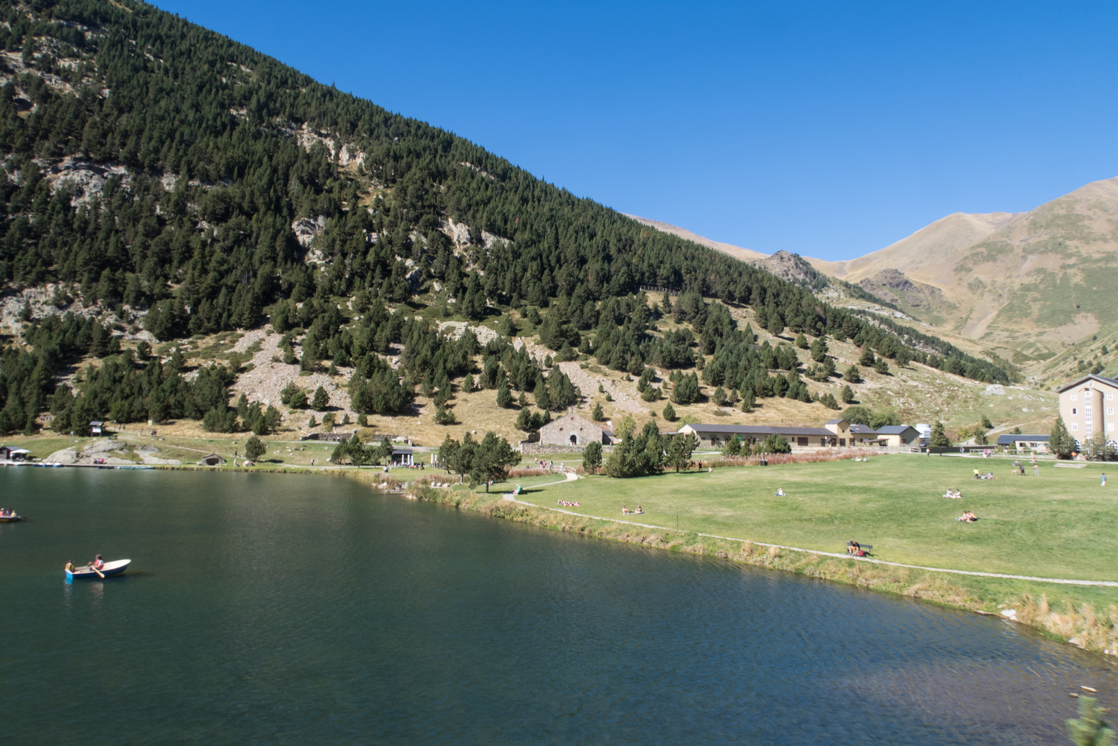
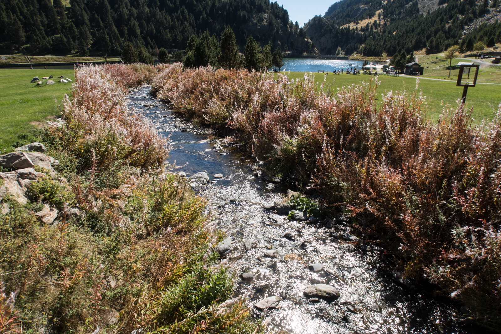
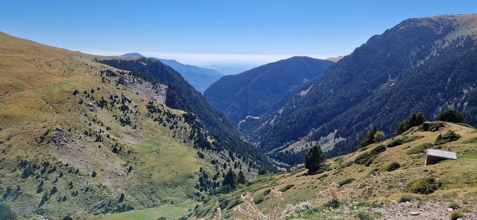
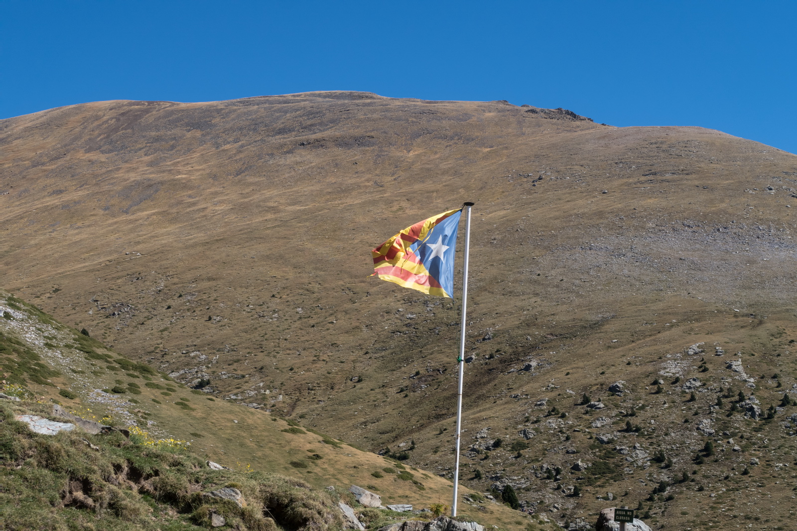
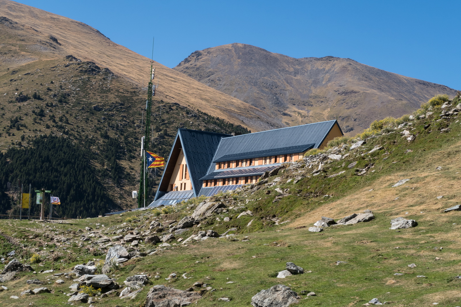
Arrived at Vall de Núria
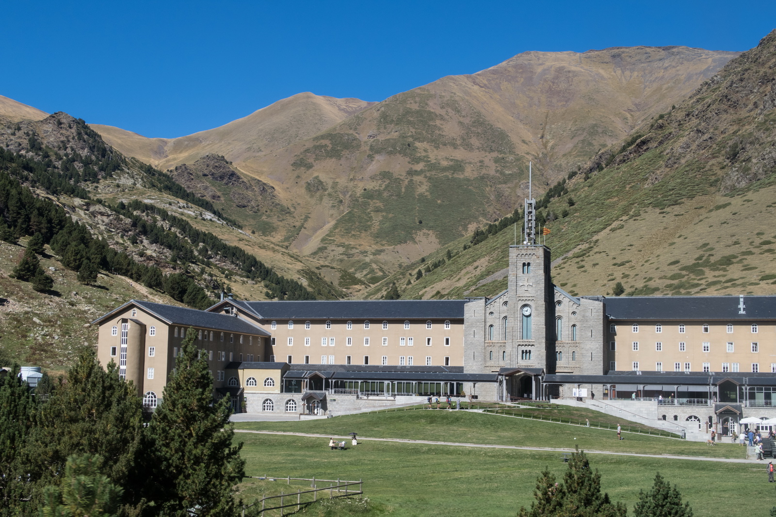
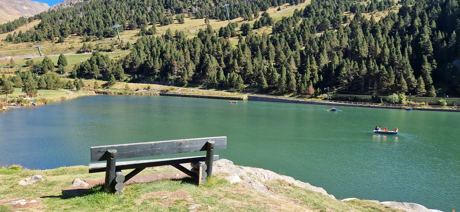
There are some ski runs but probably "black plus" ![]()
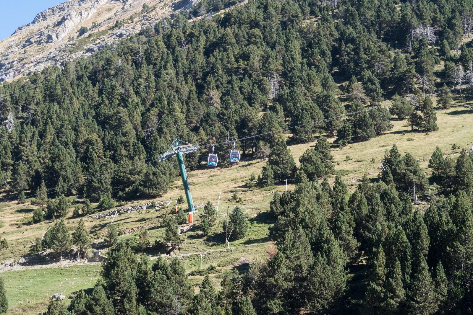
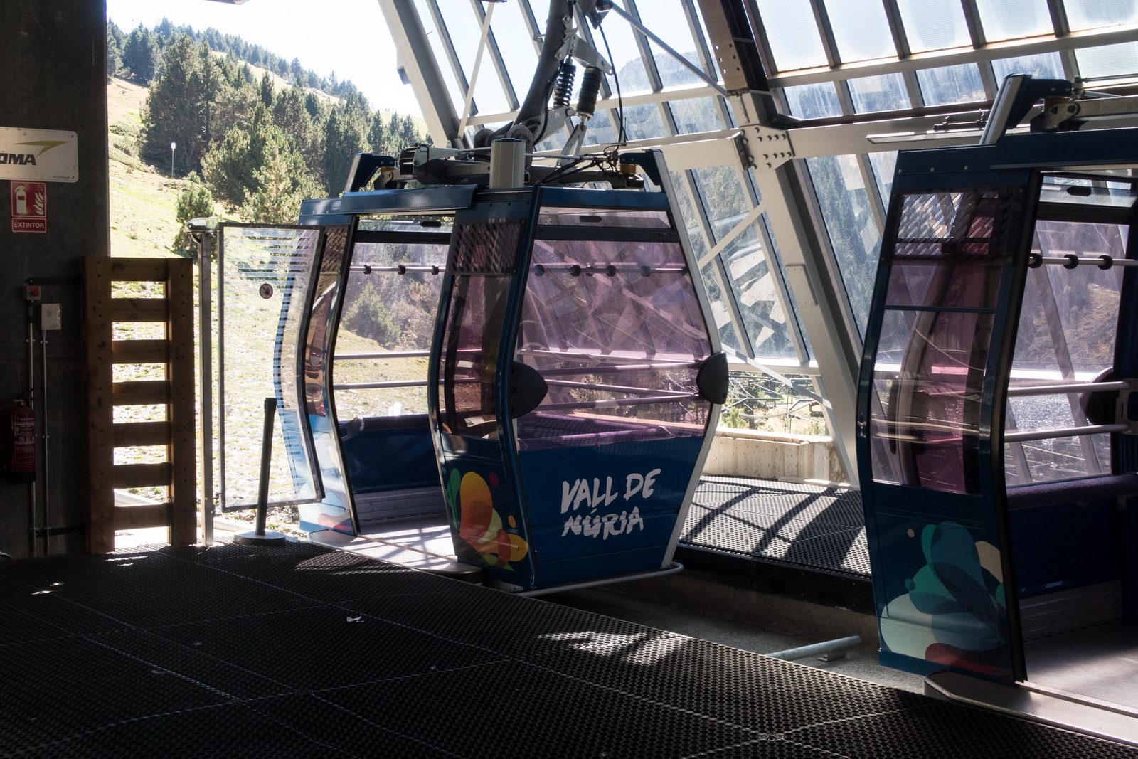
A cable car to the next spot
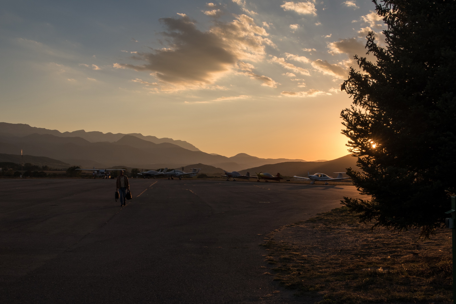
After a few really great days of trekking and socialising, the day of departure to back home. The weather was still excellent along the route, albeit with some low cloud at the UK end, both actual and forecast, but forecast to clear up. This had to be watched because "clearing up" often doesn't happen. In this case it was watched enroute using the ADL150 which is one of the best things you can install in an aircraft! There were plenty of diversions in France, but all are on a long PN (mostly 24hr) and only LFRK had been sorted on this front.
TAFS/METARs Radar IR Sferics Gramet Windy.com cloudbase
The Gramet above was done about 5 days earlier and is almost useless; it is not worth much anyway since it depicts cloud poorly. Windy.com is generally much better.
Some of the group had departed the day before

This Jetprop from Poland was one of the last to leave
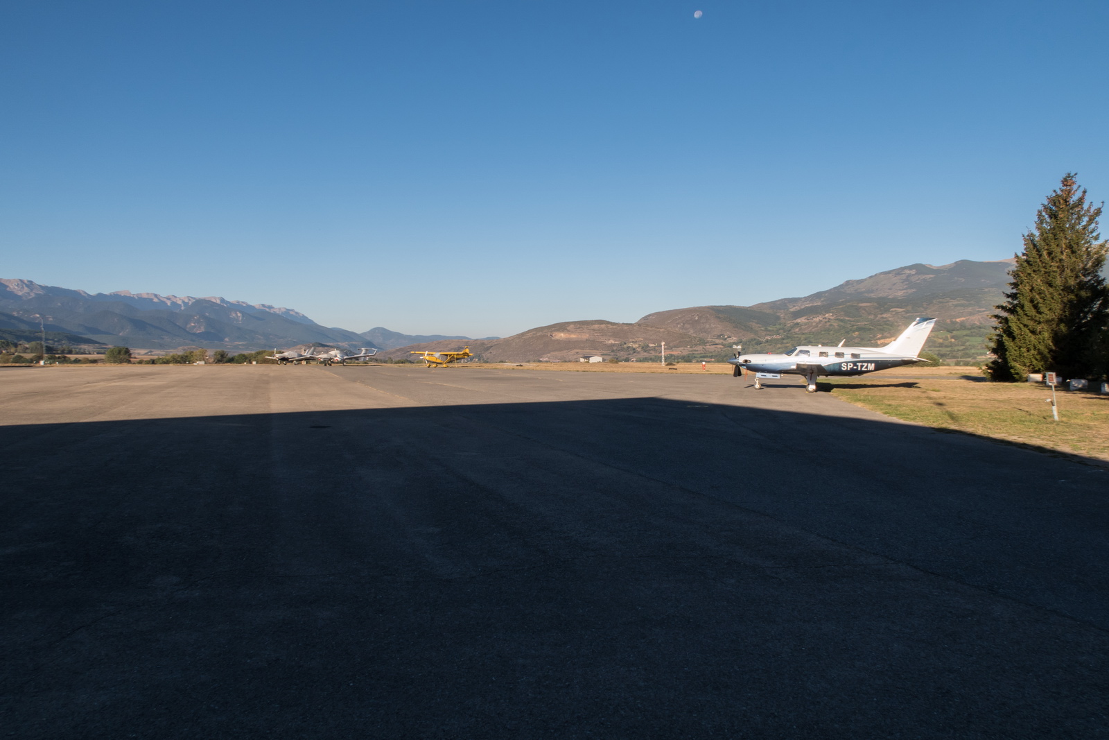
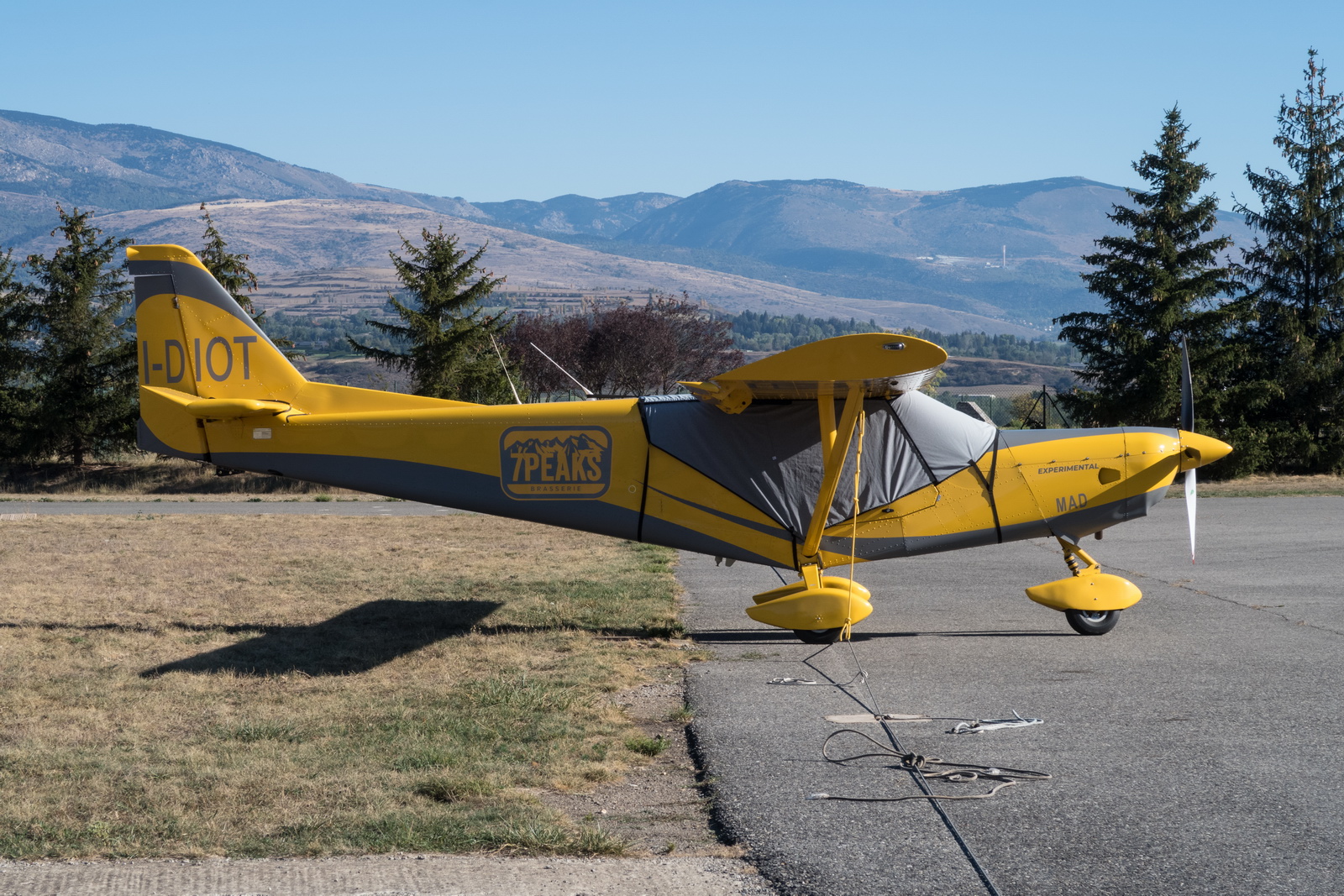
Hilarious registration ![]() Not one of our group!
Not one of our group!
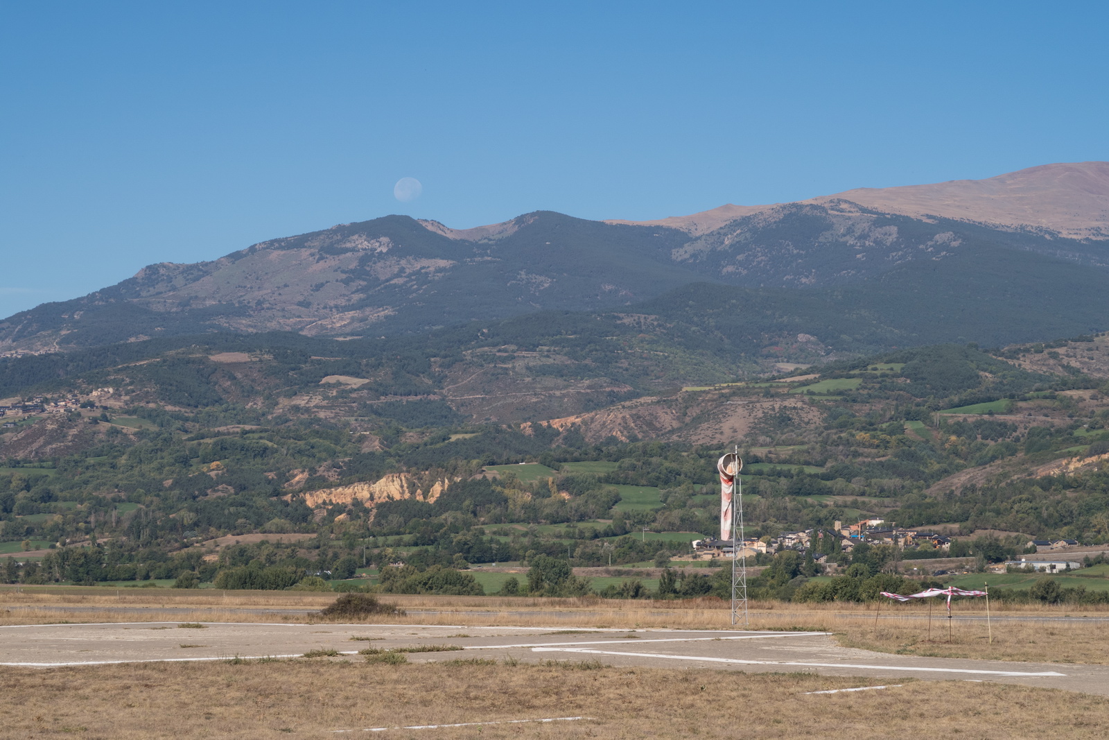
The windsock should ideally always look like this; the usual comments were made ![]()
Lined up to depart
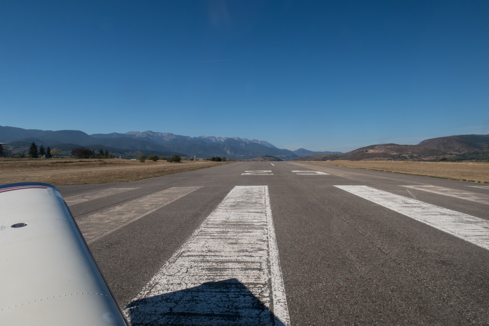
LECD from the air again
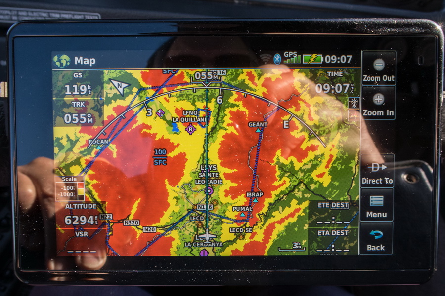
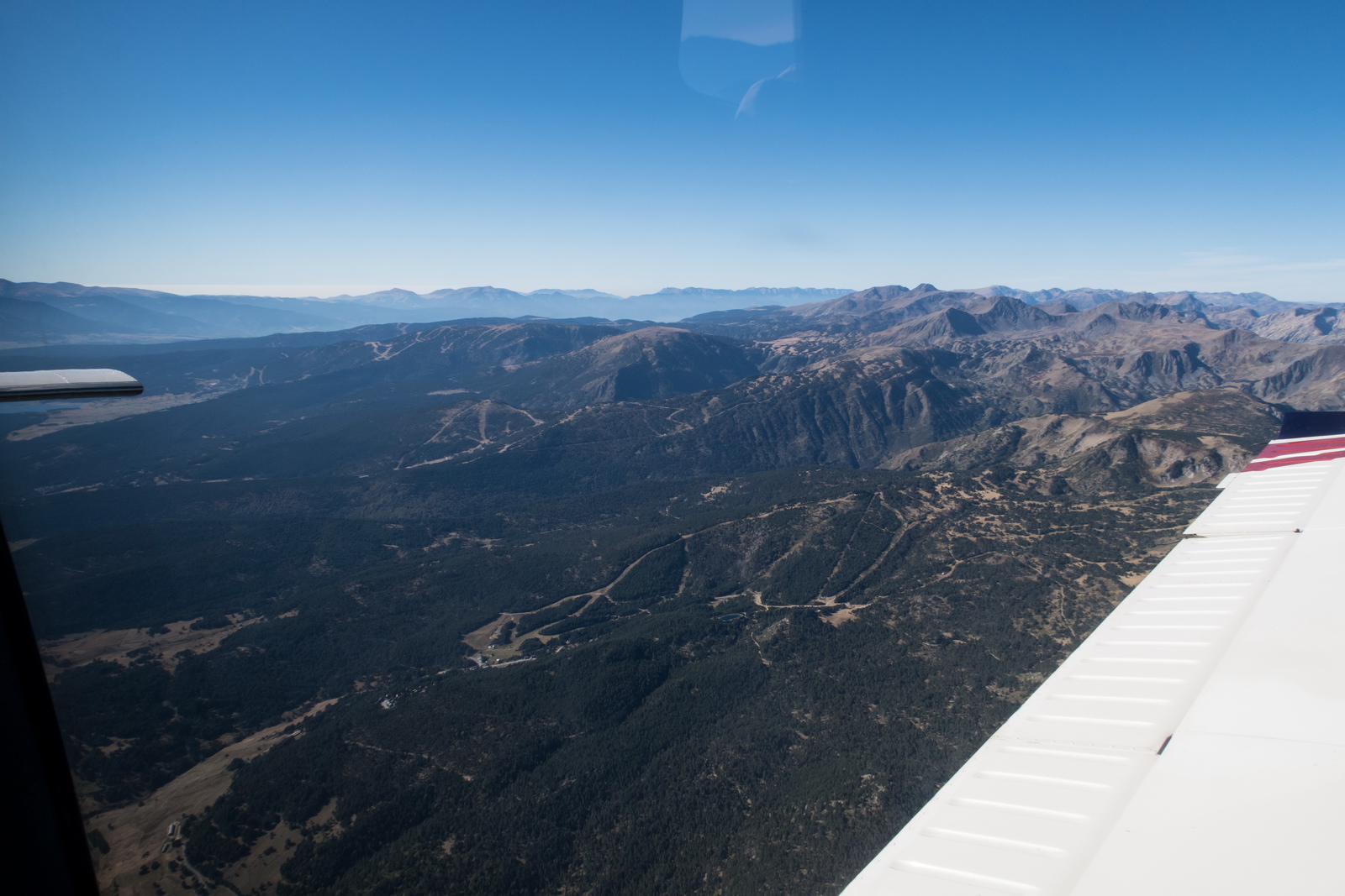
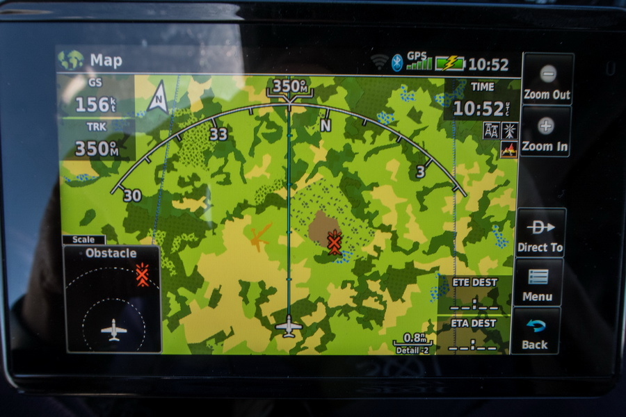
To avoid circling to gain height (always an option) we looked for a route to the NE into France - readily visible here on the Aera 660 TAWS (terrain warning) display
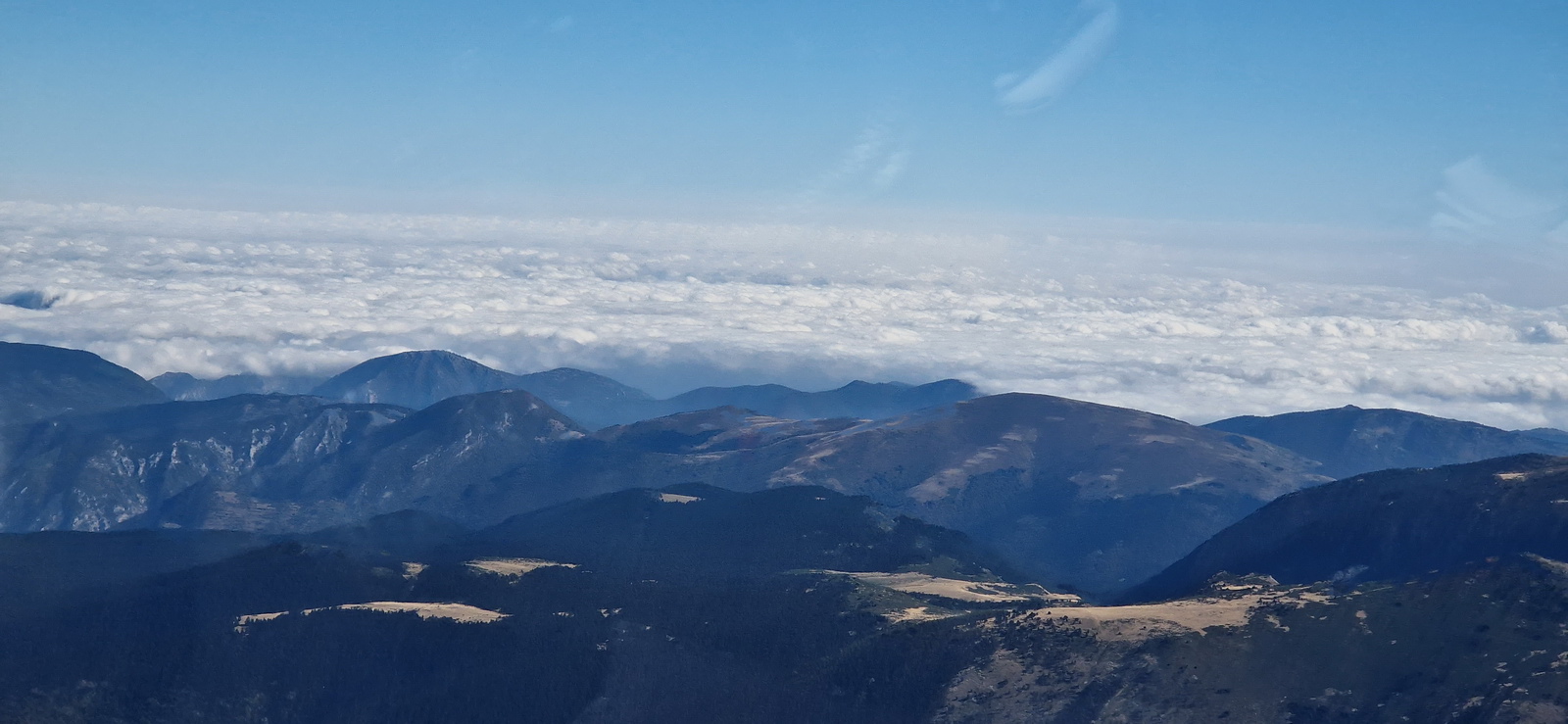
Far ahead is France
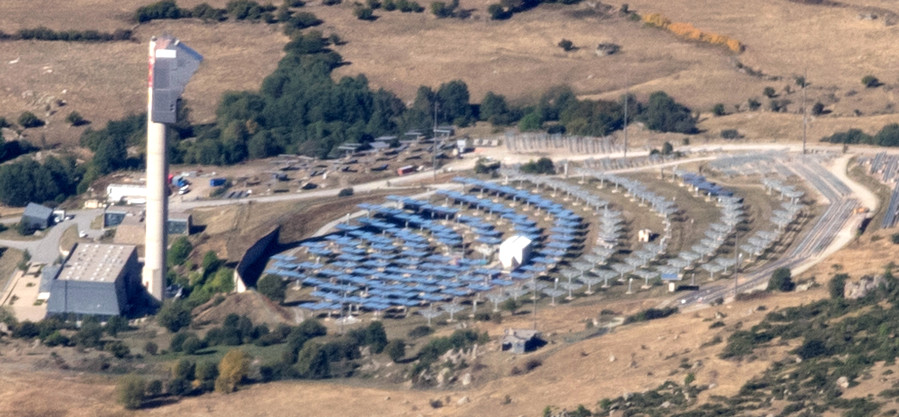
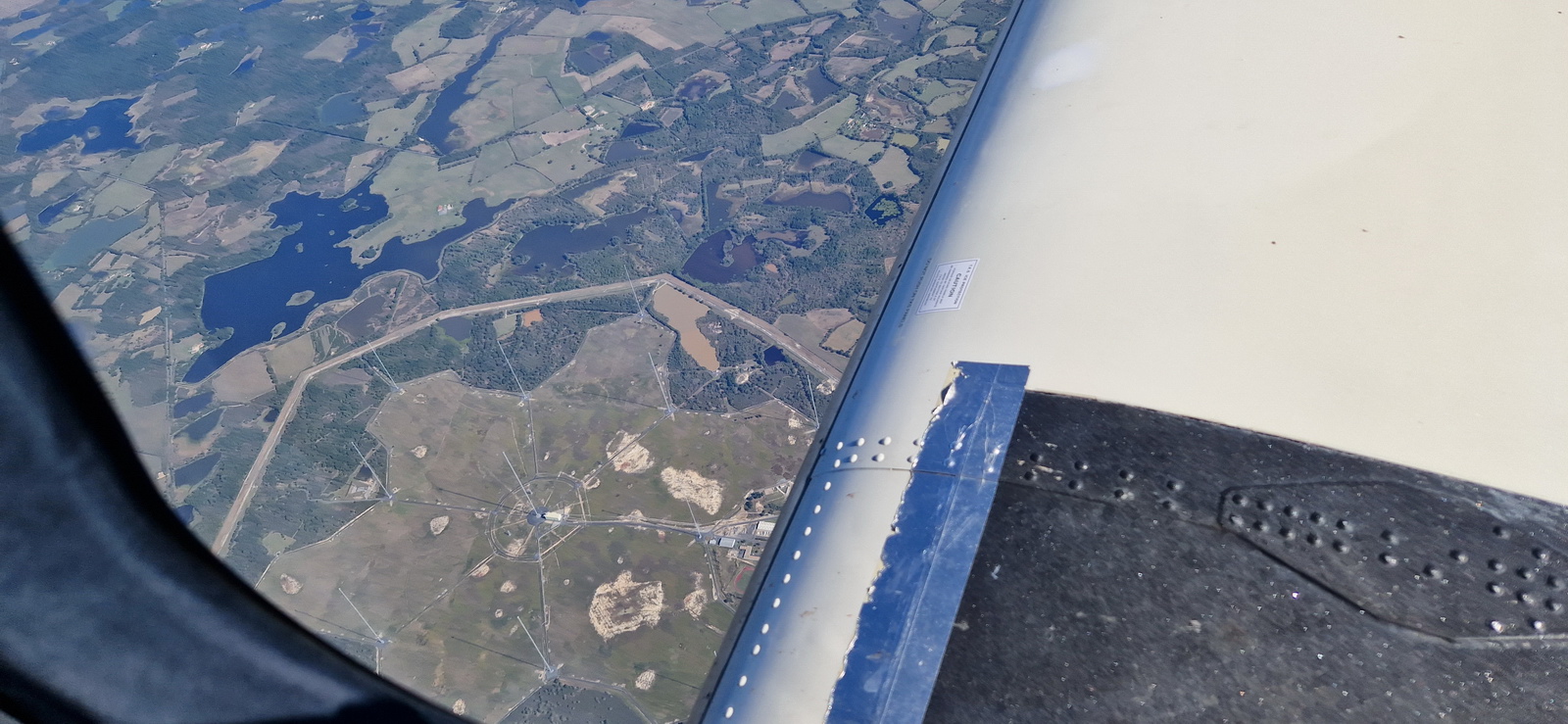
An interesting installation, still in Spain, which seems to focus many mirrors onto a central tower
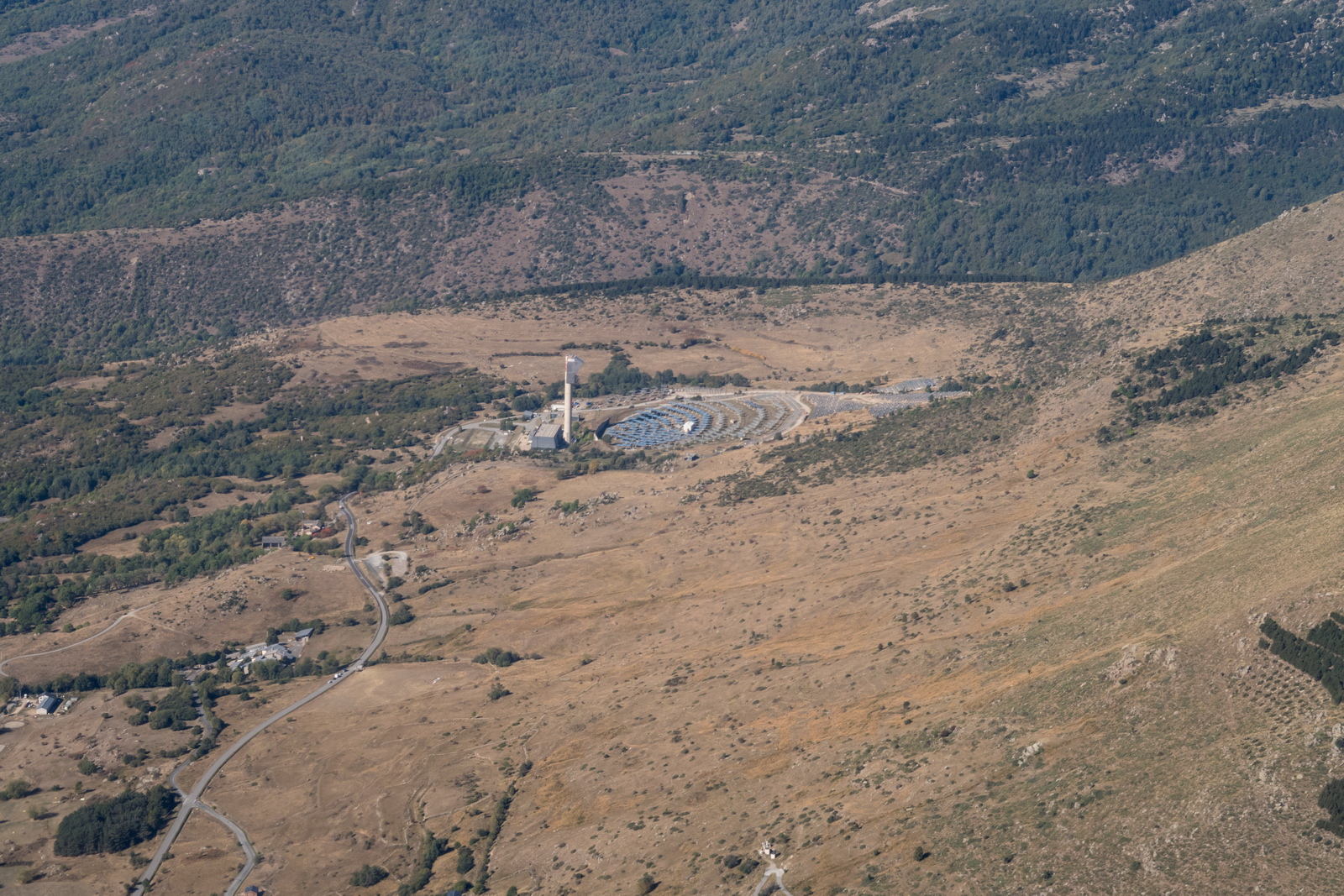
Apparently this is a solar power plant
Looking back into Spain
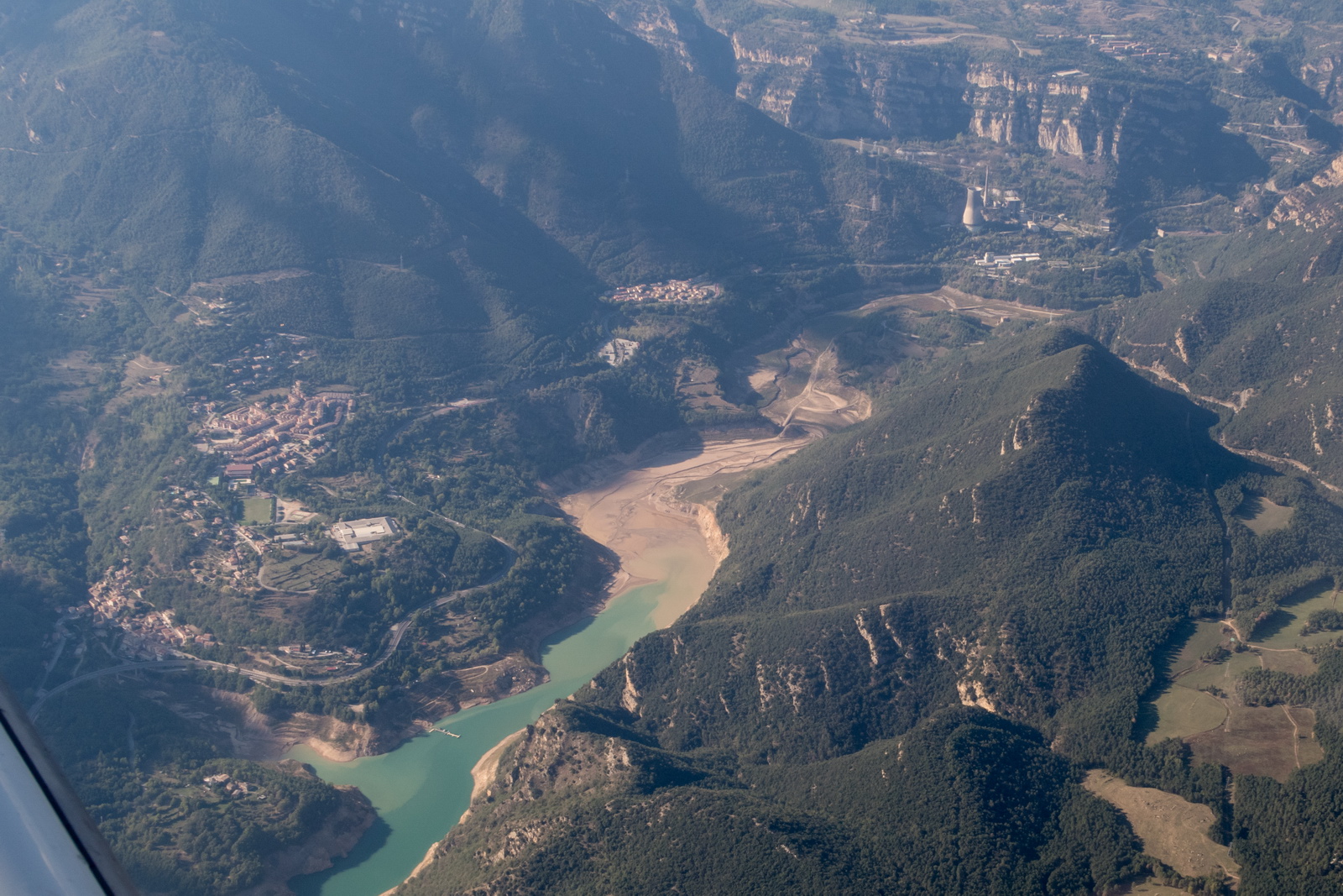
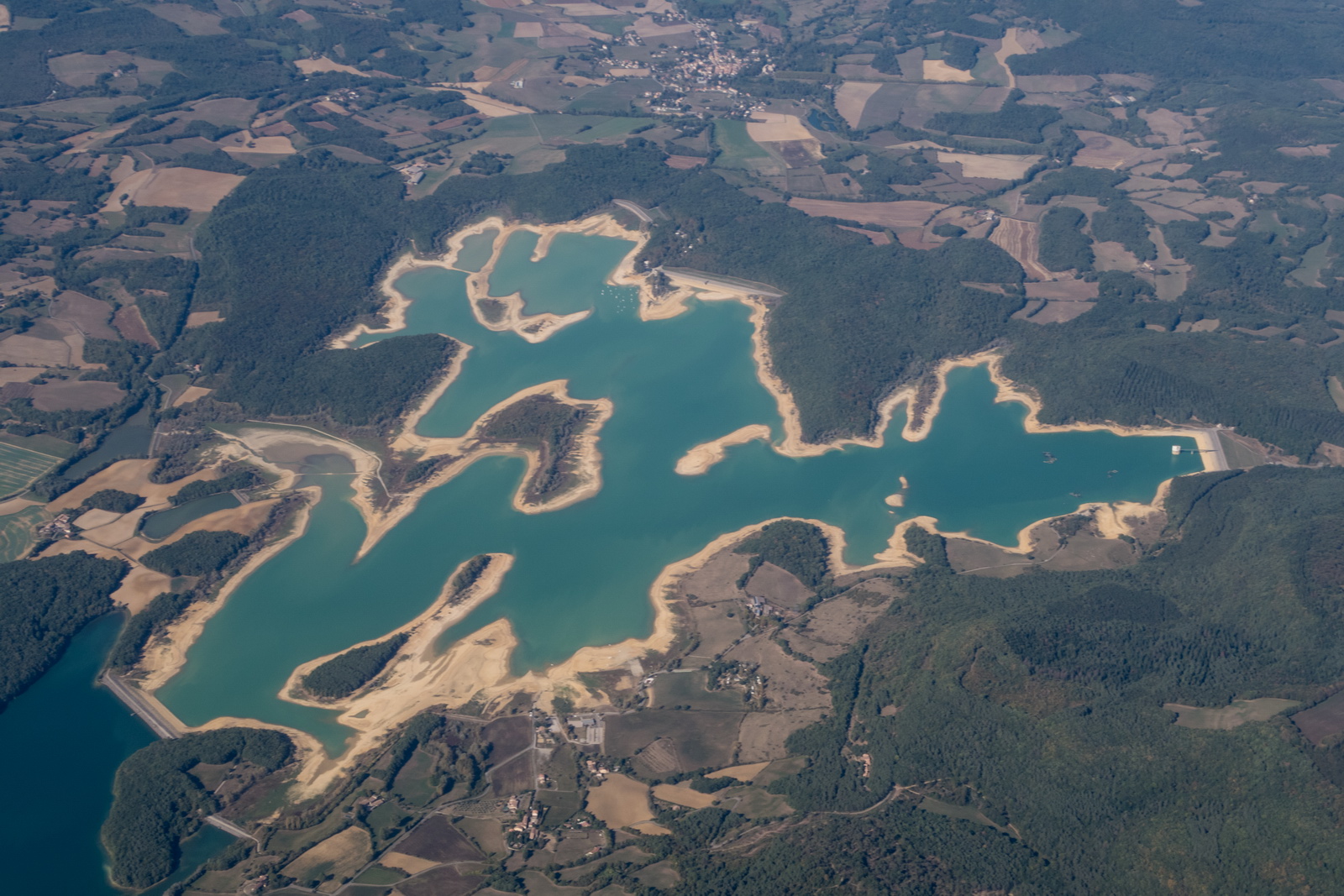
No idea what is in that lake but probably not quite water ![]()
A new runway, unpublished, inside a French military area
Nobody seems to know what these are for
This was interesting - a French military installation which could float an antenna under a balloon, up to 10,000ft and which produced a warning on the Aera660 terrain warning (TAWS) display
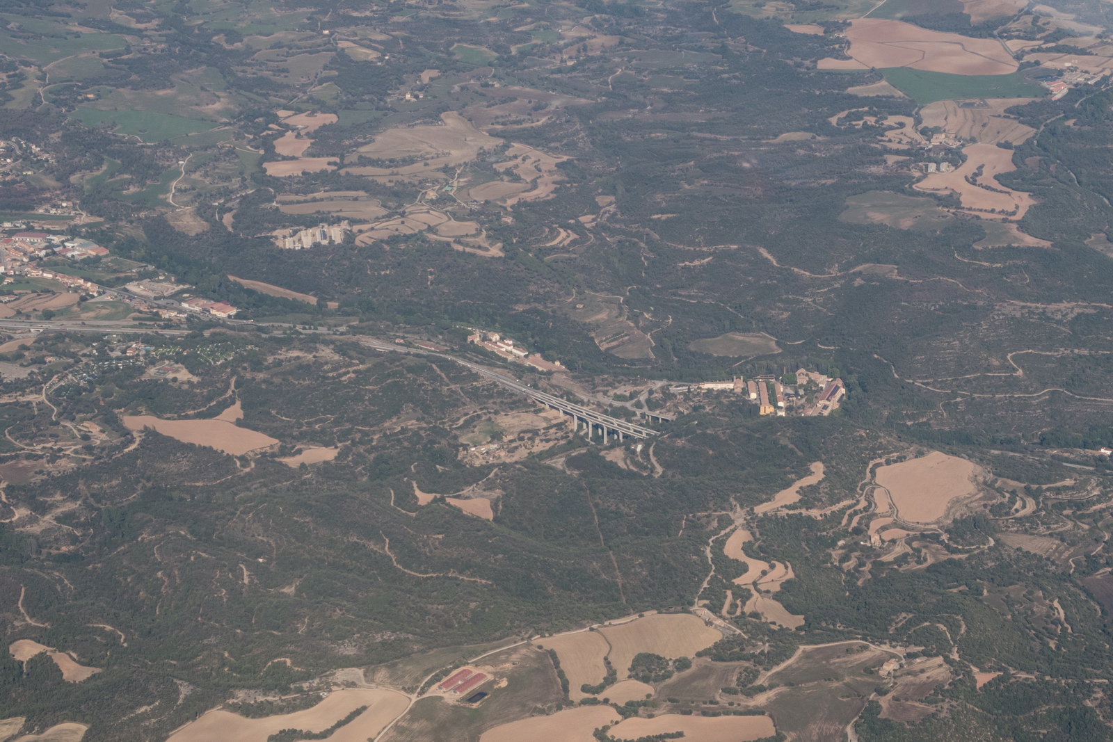
N France - thousands of fields and more fields
We did a quick customs/immigration stop at Caen LFRK, without taking on fuel to save time (landing fuel on board was computed at 30 USG) and departed half an hour later. The route flown was very similar to the EGKA-LEGE route and was even more straight.
FL090 and still over France
Towards the UK coast the weather got slightly worse, as expected
Shoreham EGKA runway 02
Crossing the coast on the way in
This was a brilliant high-value trip. We had all the key ingredients: great weather over a large area of Europe, a good size group (thanks to Aart's superb organisation), an attractive location with plenty to do for everyone, and a hard runway.
Flight times (airborne times)
Shoreham EGKA – Girona LEGE 3:50
Girona LEGE – La Cerdanya LECD 0:50
La Cerdanya LECD – Caen LFRK – Shoreham EGKA 3:20
Fuel on landing (US gallons)
Girona LEGE 38.7
La Cerdanya LECD 72.5
Shoreham EGKA 30.4
For an idea of the meaning of the above reserves, the fuel burn enroute ranges from 11.5 USG/hr at low level to 8.5 USG/hr at FL160.
Contacts and Costs
See here. The main contact issue was with the LEGE handler, Centervol.es which was published everywhere as centervol.com which is a dead email but does not bounce back. It is hard to believe nobody has told Centervol; more likely they don't care. But once we got the right email, it all went smoothly. EuroGA airport database reports: LEGE LECD
Oxygen
An oxygen system is practically necessary for IFR in the Eurocontrol system. Occassionally, the weather is nice and one can fly at FL090 or so but most people would still get tired after several hours. Also many routings are not available below oxygen levels, due to controlled airspace structures, and in some cases terrain.
On this entire trip the usage was around 20% of the 48 cu. ft. cylinder, for 2 persons. Without oxygen I would have not done the trip because one cuts off the top half of the aircraft operating ceiling (one cannot climb above most cloud) and in the wrong conditions could spend most of the flight in icing conditions and turbulence. The Alps also cannot be crossed without oxygen unless you go "VFR" and have very good weather.
The Value of an IR
On this trip, the flights could have been done under
VFR although with climbing "VFR" through some cloud layers ![]()
Photo Galleries
The gallery in this report was generated with Juicebox
which has a free version with various limits (e.g. up to 50 photos) and a $45
version (the one I have) which does everything. It runs on Adobe Air and seems to have issues
with large galleries on a win7 64bit machine so I run it in a winXP compatibility
mode ![]() It delivers good
results but has some annoying features e.g. stripping off EXIF data, which should
arguably be preserved, or at least be configurable. It also can't process images
over 4096 pixels wide which a lot of modern cameras do exceed so I have to downsize them a bit first.
It delivers good
results but has some annoying features e.g. stripping off EXIF data, which should
arguably be preserved, or at least be configurable. It also can't process images
over 4096 pixels wide which a lot of modern cameras do exceed so I have to downsize them a bit first.
Gadgets
No trip report can be complete without this bit ![]() However, I didn't bring much this time. The photos were shot mostly with a Samsung
S10e phone, and a Canon G7X pocket camera which produces photos which exceed anything from the S10E. However the G7X was sold on Ebay soon after I moved to the S23 (basic, not Ultra which is too big) phone! My Pentax K1 DSLR camera stayed at home.
However, I didn't bring much this time. The photos were shot mostly with a Samsung
S10e phone, and a Canon G7X pocket camera which produces photos which exceed anything from the S10E. However the G7X was sold on Ebay soon after I moved to the S23 (basic, not Ultra which is too big) phone! My Pentax K1 DSLR camera stayed at home.
All photos were taken in DNG (or CR2, for the G7X) raw format and processed in Lightroom to crop and remove some haze. This avoids the fashionable but ridiculous enhancements (over-saturation and over-sharpening) which the phone makers do. The other program I use is ACDSEE PRO which is easy to use on any randomly chosen picture folder to batch resize/rename everything. It is also my standard photo viewer. Lightroom workflow is formal, but it is good for uniformly processing lots of photos and professionals use it a lot. For example, I apply +20% vibrance and +20% clarity in Lightroom, to all RAW images. On phone pics I bring down highlights a bit, because phones tend to over-saturate highlights.
In theory one could do everything needed on a trip with just the S23 phone. It can be used to get weather, file flight plans, run the ADL150 app, and of course do all the normal comms with other people. It can even take good enough photos. It is however too painful to use for much typing, or viewing approach plates. So, for ground tasks, on all significant trips I carry a Dell XPS13 laptop which makes everything much easier, especially route replanning. One cannot beat a laptop for productivity; I have the older XPS13-9360 version with a 1920x1080 screen which is does basically everything anyone could ever need and with the quad core I7 processor is very fast - good enough for movie editing/rendering and faster than most of today's ~3GHz desktop computers. I run Foreflight in-flight and this required an Ipad; I have the Ipad mini 5 which also acts as a "backup phone" with VOIP installed, for outgoing calls only. It does also have a £8/month contract SIM card so it has mobile data (stupidly, Apple block voice and SMS on an Ipad, so VOIP is the only way, whereas an Android tablet works fine as a phone). I also have VOIP on the S23 phone, again usable only for outgoing calls and handy at home (on WIFI) where there is almost no GSM signal. Foreflight can display the free AIP terminal charts and these are georeferenced, but the Ipad cannot be relied on because it readily shuts down in a warm cockpit, due to overheating, and it blocks the display of terminal charts which are older than a few weeks, so one needs to diligently update it before a trip (the update is > 5GB). So I fly with printed terminal charts (Jeppesen) for all planned airports and diversions. It can surprise one how, when things go wrong, a lot of functionality can go up in smoke all at the same time!
The app for the ADL150 satellite weather receiver runs on the phone, the Ipad, and also on an old Samsung T705 tablet on which I have proper topographic data for the Alps and the Pyrenees, for flying over the mountains above cloud. I normally also carry this tablet but it isn't turned on except for when in mountains.
This page last edited 29th December 2023